What is recorded here
The precise location of the eel-weirs standing on the River Brosnagh close to the village of Kilbeggan has not been identified. These eel-weirs are mentioned in the 1606 land grant to Sir Oliver Lambert. In this year he was granted ‘the site and precinct of the late abbey (WM038-017007-) of the B. V. Mary of Kilbeggan, in M’Geoghogans countrie, with the stone walls of a church and other buildings therein – 3 gardens, and a waste orchard, containing half an acre – a small chapel or church (WM038-017006-) belonging to the town of Kilbeggan, and to the parishioners of said monastery – a close to said monastery adjacent, containing 1a. – 3 messuages, 6 cottages, 60a. arable, standard measure, 16a. pasture, 6a. bog, in the town and fields of Kilbeggan – a water mill (WM038-017008-), near the town of Kilbeggan, upon the river Brassnagh (Brosnagh) – 2 eel-weares, 2 mess., 3 closes or cottages, 70a. arable, 30a. pasture and common of bog’ (Erck 1846, 268). It is possible that the eel-weirs may have formed part of the monastic estate of the Cistercian abbey of Kilbeggan that was granted to Sir Oliver Lambert in 1606 (ibid., 268).
Compiled by: Caimin O'Brien
Date of upload: 17 April 2014
The monument record does not grant public access. Check the route and ask the landowner before entering private land.
- What survives
- Recorded monument
Places near here
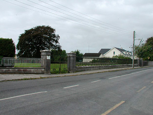 Saint James's Catholic Churchgates/railings/walls · 106 yd
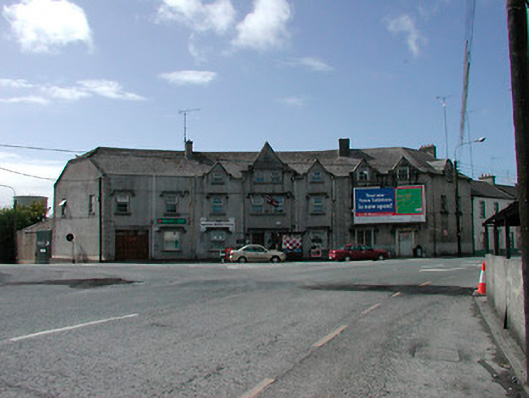 hotelhotel · 266 yd
 Ecclesiastical enclosure in KilbegganEcclesiastical enclosure · 717 yd
 OutlinedFairy fort / earthen ringfort · 1247 yd
 Bonfire HillMountain / peak · 1.7 mi
 Durrow HillMountain / peak · 1.8 mi
 CastleCastle, unclassified · 2.1 mi
 Shancourt or MeeneglishCastle, unclassified · 2.1 mi
 Ardan WoodWood · 2.4 mi
 High WoodWood · 2.6 mi
 St. Columba's WellSpring · 2.8 mi
 Grand Canal WayWalking route · 6.0 mi