What is recorded here
Described in the Civil Survey (1654-6) as a 'Fishing Weare upon the River Shewir' (Simington 1931, vol. 1, 248) which has been located to the townlands of Glenbane Lower and Newtown townlands. The exact location of this monument is unknown.
Compiled by: Jean Farrelly
Date of upload: 26 August 2011
The monument record does not grant public access. Check the route and ask the landowner before entering private land.
- What survives
- Recorded monument
Places near here
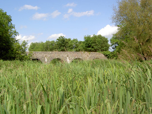 Twoford Bridgesbridge · 545 yd
 IndicatedFairy fort / earthen ringfort · 746 yd
 Enclosure in Newtown (holycross Par.)Enclosure · 892 yd
 Milltown CastleCastle · 1.0 mi
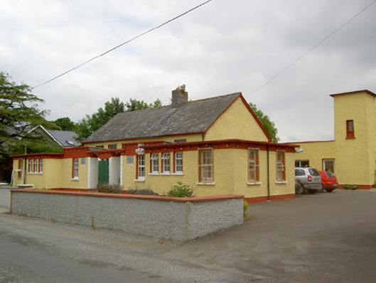 Gaile National Schoolschool · 1.1 mi
 RathkennanCastle, motte and bailey · 1.5 mi
 Killough Hill (site of)Mountain / peak · 2.3 mi
 Clonoulty HillMountain / peak · 3.2 mi
 Cormackstown Heritage CentreMuseum · 3.6 mi
 Drum WoodWood · 4.2 mi
 Gift Horse GalleryGallery · 4.8 mi
 Wildlife CorridorWood · 4.9 mi