What is recorded here
Coldblow once hosted a Lucan weir that men pulled apart because it choked the Liffey, while salmon still leapt past estates and every owner still claimed half the river. The 1837 map draws that forgotten line between Lucan Demesne and Coldblow, preserving a boundary that water, law and greed kept redrawing. Nothing visible remains except the possibility that the riverbed still remembers the timber, the argument and the shape of the catch.
A weir or fishery at Bullock in the 14th-century associated with the castle (O'Flanagan 1941-42). Not precisely located.
Compiled by: Geraldine Stout and Padraig Clancy
Revised upload on: 25 June 2018
The monument record does not grant public access. Check the route and ask the landowner before entering private land.
- What survives
- Recorded monument
Places near here
 Indicated as Dalkey LodgeHouse, 16th/17th century · 524 yd
 Druids AltarMegalithic structure · 587 yd
 Well in BullockWell · 668 yd
 Site of CastleCastle, unclassified · 690 yd
 Dalkey Heritage TownVisitor information · 695 yd
 Castle (in ruins)Castle, tower house · 747 yd
 Church in DalkeyChurch · 775 yd
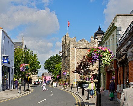 Dalkey Heritage CentreVisitor information · 802 yd
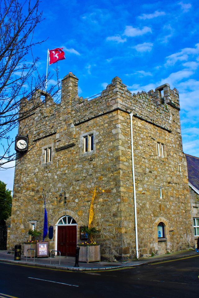 Dalkey CastleFortified town house and castle · 807 yd
 Sandycove BeachBeach / strand · 908 yd
 James Joyce Tower and MuseumMuseum · 927 yd
 Dalkey HillMountain / peak · 1539 yd