
What is recorded here
Situated to the NE of the junction of Harbour Road and Breffni Road, the site of this well is c. 37.5m to the NE of Bullock castle (DU023-020001-). The site was excavated and it was found that the well was situated within a small rectangular structure built against the W part of the site boundary wall. An entrance was located on the N side of the structure and measuring 3.9m E-W. A 4.8m length of this structure whose function is unknown, was exposed in the excavation but the structure continued south. The mouth of the well (1.6m) was partially covered by re-used dressed granite slabs. It was lined with granite stones and boulders with granite spalls and putty-like clay between the stones and descended 2.5m to a concave base (diam. 1m). Beneath later collapse at the base of the well was a layer of black organic silt approximately .20m in depth containing twigs, a pig's tooth and some bristles. A lead pipe functioning as a bore led from the bottom of the well upwards but its outlet was not identified within the excavated area. The well was overlain by a tiled floor with red and grey tiles dating to the 19th century (O'Brien 1990, E000971).
Compiled by: Margaret Keane and Padraig Clancy
Revised upload on: 22 May 2018
The monument record does not grant public access. Check the route and ask the landowner before entering private land.
- What survives
- Recorded monument
Places near here
 Castle Bullock CastleGatehouse · 41 yd
 Bullock Har.Quay · 51 yd
 James Joyce Tower and MuseumMuseum · 533 yd
 Sandycove BeachBeach / strand · 566 yd
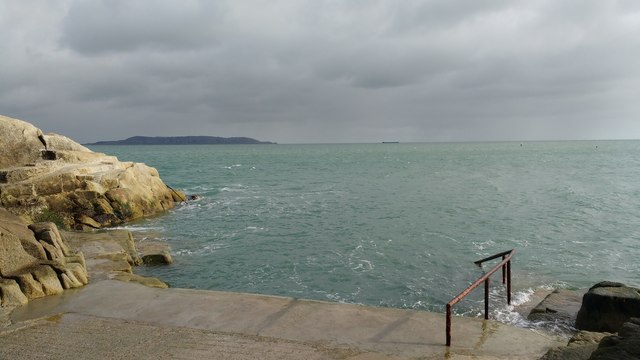 Forty FootHeritage attraction · 618 yd
 Site of CastleCastle, unclassified · 837 yd
 Church in DalkeyChurch · 898 yd
 Castle (in ruins)Castle, tower house · 906 yd
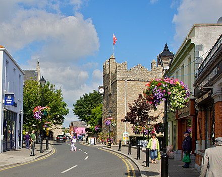 Dalkey Heritage CentreVisitor information · 912 yd
 Indicated as Dalkey LodgeHouse, 16th/17th century · 970 yd
 Dalkey Heritage TownVisitor information · 1362 yd
 Christ the KingMemorial · 1.1 mi
Other information
Photo: Credit not shown in the picture search · Rights wording not checked; contact us if this picture should be removed