
What is recorded here
Shown on the 1843 edition as 'Druids Altar' indicating that the monument was still standing at this date. Mentioned by Ball (1902, 35-6) who claims that it had been removed in the early 19th century. Includes a drawing by Gabriel Beranger of the 'rocking stone'at Bullock in 1777. This shows the side wall of a passage formed of large orthostats which ascend in height towards the point where a capstone rests. This may have been a megalithic tomb. No visible surface trace.
Compiled by: Geraldine Stout
The monument record does not grant public access. Check the route and ask the landowner before entering private land.
- What survives
- Recorded monument
Places near here
 Sandycove BeachBeach / strand · 442 yd
 James Joyce Tower and MuseumMuseum · 492 yd
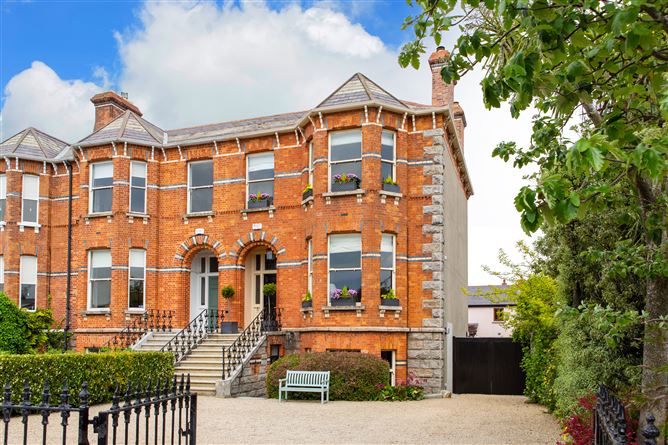 Sandycove BatteryBattery · 528 yd
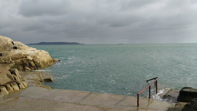 Forty FootHeritage attraction · 567 yd
 Well in BullockWell · 654 yd
 Indicated as Dalkey LodgeHouse, 16th/17th century · 1107 yd
 Dalkey Heritage TownVisitor information · 1133 yd
 Site of CastleCastle, unclassified · 1195 yd
 Geographic PointerViewpoint · 1252 yd
 Castle (in ruins)Castle, tower house · 1261 yd
 Church in DalkeyChurch · 1277 yd
 Christ the KingMemorial · 1397 yd
Other information
Photo: Credit not shown in the picture search · Rights wording not checked; contact us if this picture should be removed