
What is recorded here
Situated at the W end of the village of Dalkey on the E side of Ulverton Road. Annotated ‘Site of Castle’ on the 1837 ed. OSi six-inch map. A castle originally stood on the N side of Castle Street. It was known as 'Wolverston Castle' after the Stillorgan family who held property in Dalkey in the 17th century. In 1703 John Allen of Stillorgan House (DU023-012001-) paid the sum of £151 to the Trustees of Forefietures of 1688 for the forfeited lands of Dalkey which included the ‘4 Castles & several Cabbins thereon’ which was the ‘Estate of the late King James’ (VRTI NAI Lodge/9/322). This castle was demolished in the 1840's to provide stone for the building of Tudor House, located 170m to the S of St Mary's R. C. Church in Dalkey (Latham 1983, 5). No visible surface trace.
Compiled by: Caimin O'Brien
The site of Castle Dalkey is believed to have been held by the Fitzgerald family, Earls of Kildare, during the late medieval period. It is remembered as part of the defensive network of the Irish Pale and for its strategic location overlooking Dublin Bay.
The monument record does not grant public access. Check the route and ask the landowner before entering private land.
- What survives
- Recorded monument
Places near here
 Castle (in ruins)Castle, tower house · 70 yd
 Archbold's CastleCastle · 71 yd
 Church in DalkeyChurch · 85 yd
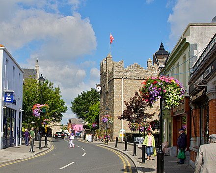 Dalkey Heritage CentreVisitor information · 112 yd
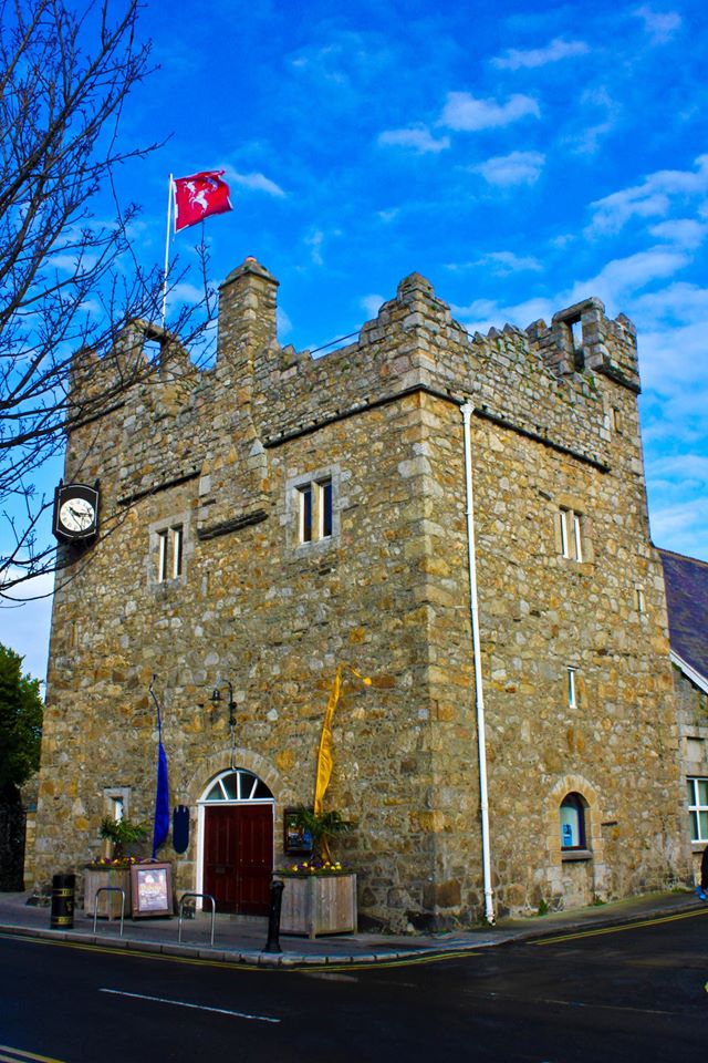 Dalkey CastleFortified town house and castle · 118 yd
 DalkeyHistoric town · 135 yd
 Town defences in DalkeyTown defences · 148 yd
 Indicated as Dalkey LodgeHouse, 16th/17th century · 373 yd
 Dalkey HillMountain / peak · 1030 yd
 Dalkey Heritage TownVisitor information · 1043 yd
 Thomas Higgin MemorialMemorial · 1111 yd
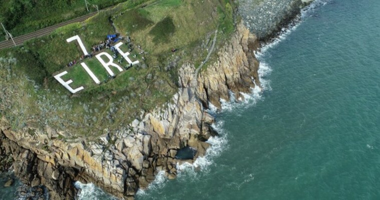 EIRE 7 signSecond World War neutrality sign · 1277 yd
Other information
Photo: Credit not shown in the picture search · Rights wording not checked; contact us if this picture should be removed