What is recorded here
Situated on an intertidal shelf immediately off shore c. 100m W of New Quay Harbour. A fish trap (L 105m; Wth c. 40m at W, narrowing to 14m at the E end), defined by the remains of stone walls (pers. comm. Michael Gibbons, 19 November 2018). This feature is clearly visible on a historical Google Earth aerial image taken on 31 January 2006 (accessed 3 December 2018). At W the wall is curved inwards in a reverse C shape (towards the E). The walls at N and S extending from the points of the ‘C’ are uneven and follow a wavy line to a rectangular trap at E (c. 8m x 9m).
Revised by: Mary Tunney
Date of revision: 5 June 2019
The monument record does not grant public access. Check the route and ask the landowner before entering private land.
- What survives
- Recorded monument
Places near here
 The Russell GalleryGallery · 408 yd
 Church (in Ruins)Church · 496 yd
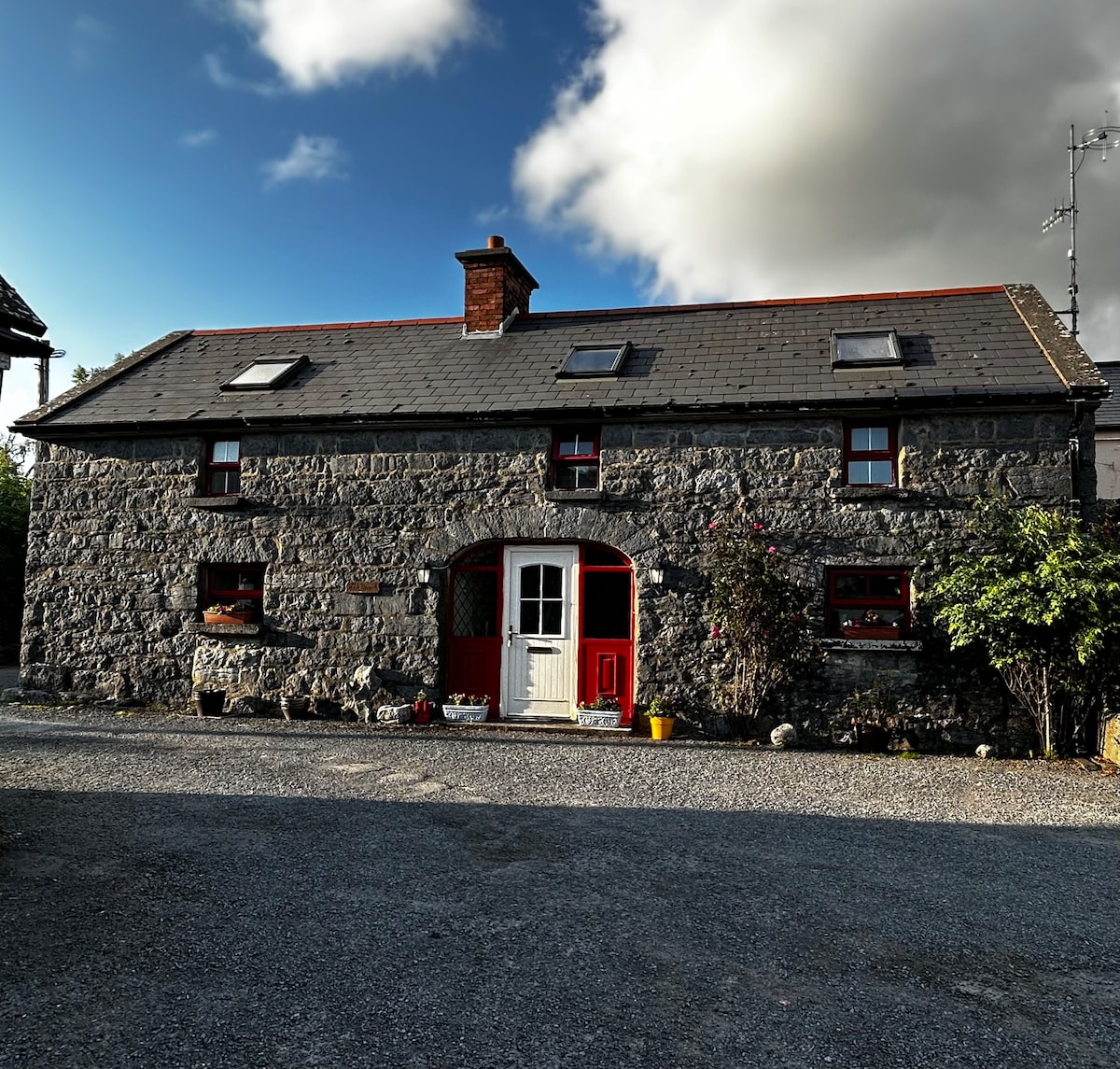 Enclosure in BallyvelaghanEnclosure · 739 yd
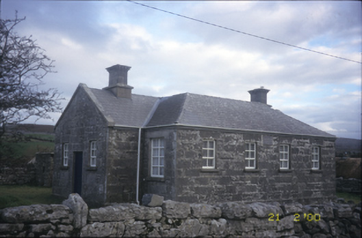 Ballyvelaghan National Schoolschool · 835 yd
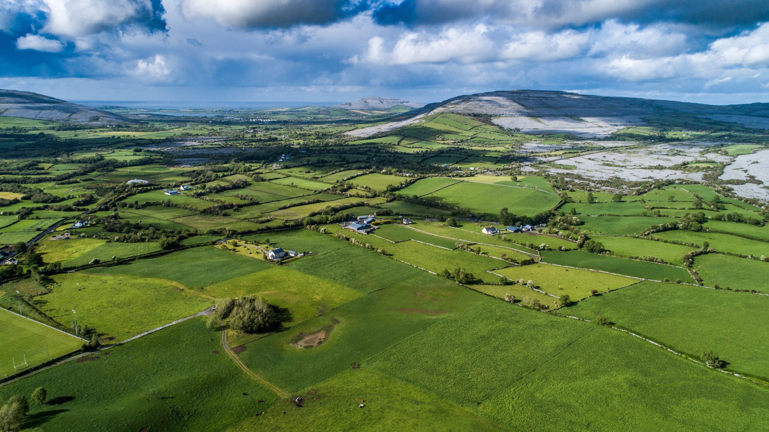 Parkmore FortFairy fort / ringfort · 955 yd
 Muckinish PointHeadland · 1.1 mi
 Saint Patrick's ChurchHeritage attraction · 1.4 mi
 Shanmuckinish CastleCastle, tower house · 1.6 mi
_-_geograph.org.uk_-_5527885.jpg?width=1280) IndicatedBawn · 1.6 mi
IndicatedBawn · 1.6 mi Abbey HillMountain / peak · 1.8 mi
 Battle of Lough Raskabattle · 2.1 mi
 Corcomroe Abbey Geopark SiteVisitor information · 2.3 mi