What is recorded here
Behagh holds a broken cashel where a dense northern patch of vegetation hints at a hidden passage, inviting wonder rather than certainty. The east interior is scarred by digging while a later shed intrudes on the western wall, proving the site served living people long after its fortress purpose faded. What remains is a tangle of old stone, new field boundaries and human desire to claim even the smallest corner of the ridge.
On the summit at the W end of a low E–W ridge of good mixed pasture and meadowland. Hachured as a circular enclosure (diam. c. 45m) on the 1842 ed. of the OS 6-inch map. On the 1915 ed., it is again hachured but with an outer concentric field boundary indicated from NW–SE by a solid line.
A very poorly preserved circular cashel (est. int. dims 33.6m E–W; 33m N–S) defined by a short arc of inner and outer cashel wall facing-stones at N (Wth 1.2m; int. H 0.2m; ext. H 0.1m), a low narrow grassed-over stony bank (Wth 3.6m at base; int. H 0.7m; ext. H 0.4m) from NNE–SE and a stony spread (Wth 4.9m at base; int. H 0.5m; ext. H 0.4m) from SSE–WSW. Some original outer facing-stones also survive to the SSE. From WSW–NNW, a later stone wall has been built on/close to the original line of the cashels inner face and a wide spread of cleared field stones have been piled up against the outer face of this wall obscuring the original enclosing element. A shed (4m x 4.3m) has been built on and inside the cashel wall line at WNW. A building is indicated on the OS 1st ed map at that location. The E half of the interior has been dug out (av. D 0.9m). Stone is visible in the scarp face separating the higher W half of the interior from the disturbed E, but this stone may just be the natural rock and not a facing effort. A later field wall runs N–S over the E limits of the interior. There is a dense patch of vegetation in the N sector (4m E–W x 2m N–S), which may indicate the location of a Man-made underground passage (CL003-018001-).
Compiled by: Mary Tunney and Ros Ó Maoldúin
Date of upload: 15 December 2020
The monument record does not grant public access. Check the route and ask the landowner before entering private land.
- What survives
- Recorded monument
Places near here
 Saint Patrick's ChurchHeritage attraction · 274 yd
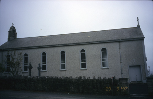 Saint Patrick's Catholic Churchchurch/chapel · 275 yd
 Enclosure in Abbey EastEnclosure · 1060 yd
 Caher of MortycloghFairy fort / stone ringfort · 1361 yd
 Abbey HillMountain / peak · 1365 yd
 Battle of Lough Raskabattle · 1396 yd
 Wall monumentWall monument, effigial · 1484 yd
 Corcomroe Abbey Geopark SiteVisitor information · 1523 yd
 Corcomroe AbbeyVisitor information · 1525 yd
 Muckinish Castle (in ruins)Castle, tower house · 1666 yd
 Muckinish PointHeadland · 1.3 mi
 The Russell GalleryGallery · 1.5 mi