
What is recorded here
Mortyclogh is a ruined stone ringfort on a low Clare ridge where a hidden underground passage and rectangular house still lie inside the grassed wall. Local story names the place for Mortough garbh O’Brien, who fell in battle nearby in 1317, while the second part of the name points to the stone house within. The fort has given up most of its shape, but its parts remain tied together: a boundary, a room, a hole downward, and a life lost outside.
On a very slight E-facing slope just off the crest at the E end of low E–W ridge, in good quality mixed pasture and meadowland. Hachured and named ‘Caher of Mortyclogh’, with a cave indicated in the interior, on the 1842 and 1915 eds. of the OS 6-inch maps and named ‘Móthair Tí Clogh’ on Robinson’s (1977) map. A very poorly preserved subcircular cashel (est. int. dims. 44.3m N–S; 43.8m E–W) defined by a low grassed-over stone spread (max. H 0.8m; max. Wth 6m) which is reduced to a scarp over the exterior ENE–SSE and to a scarp over the interior WSW–NW. A single course of inner facing-stones forms an arc (L 4m) at N and a second arc (L 4m) of more substantial outer facing-stones (H 0.6m) survives at NW. The interior contains an accessible Man-made underground passage (CL003-013002-) and the ruins of a rectangular building (CL003-013003-). A later field wall overlies the N limits, roughly on the line of the inner cashel wall-face. A graveyard is located c. 100m to the WSW (CL003-011----) and a ringfort (not visible) lies c. 250m to the SW (CL003-009----). The name ‘Mothair’ (a local toponym for square ringforts) may refer to the original shape of this fort, or, as Westropp (1911, 352) tells us was locally believed, to ‘Mortough garbh O’Brien’ who, in 1317, fell in battle nearby. The second part of the name likely refers to the stone house (CL003-013003-) in the interior.
Compiled by: Mary Tunney and Ros Ó Maoldúin
Date of upload: 15 December 2020
The monument record does not grant public access. Check the route and ask the landowner before entering private land.
- What survives
- Recorded monument
Places near here
 Mortyclogh FortFairy fort / ringfort · 335 yd
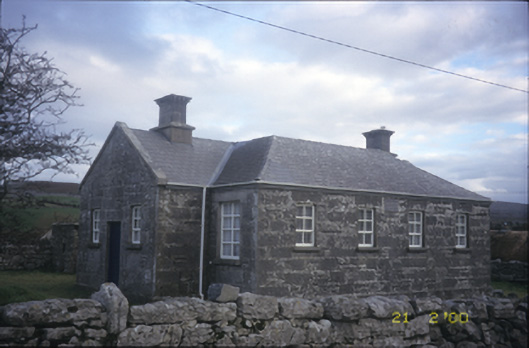 Ballyvelaghan National Schoolschool · 543 yd
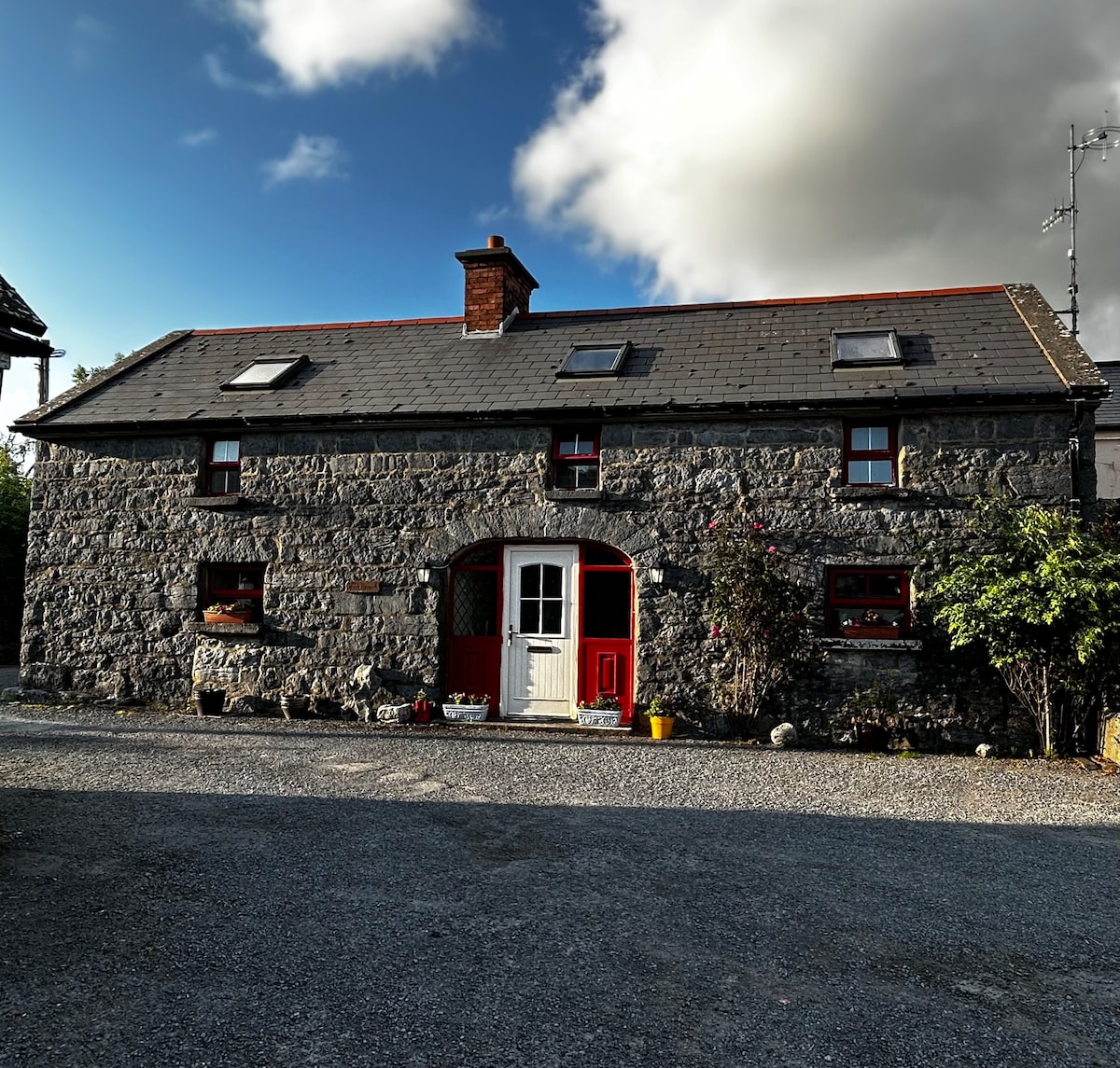 Enclosure in BallyvelaghanEnclosure · 556 yd
 The Russell GalleryGallery · 1249 yd
 Saint Patrick's ChurchHeritage attraction · 1307 yd
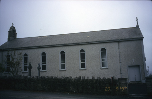 Saint Patrick's Catholic Churchchurch/chapel · 1307 yd
 Muckinish PointHeadland · 1313 yd
_-_geograph.org.uk_-_5527885.jpg?width=1280) IndicatedBawn · 1.2 mi
IndicatedBawn · 1.2 mi Shanmuckinish CastleCastle, tower house · 1.2 mi
 Abbey HillMountain / peak · 1.4 mi
 Battle of Lough Raskabattle · 1.4 mi
 Corcomroe Abbey Geopark SiteVisitor information · 1.6 mi
Other information
Photo: Credit not shown in the picture search · Rights wording not checked; contact us if this picture should be removed