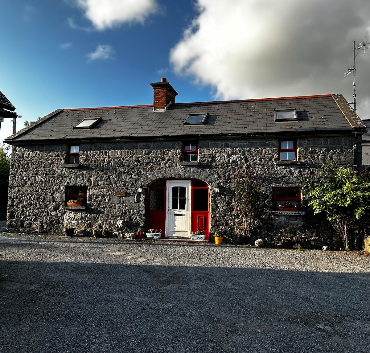
What is recorded here
On a gentle S-facing slope in improved mixed meadow and pastureland, c. 100m N of Ballyvelaghan Turlough. Hachured as a circular enclosure (diam. c. 30m) on the 1842 ed. of the OS 6-inch map but not marked on the 1915 ed. No visible trace of the monument survives at ground level.
Compiled by: Mary Tunney and Ros Ó Maoldúin
Date of upload: 15 December 2020
A local fairy fort (ringfort/rath); wider significance not recorded.
This remains an important historical record, but the official description says the monument is no longer visible or has been destroyed. The monument record does not grant public access. Check the route and ask the landowner before entering private land.
- What survives
- No visible remains or recorded as destroyed
Places near here
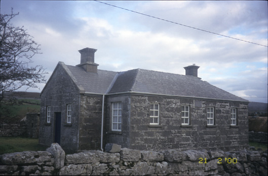 Ballyvelaghan National Schoolschool · 231 yd
 Caher of MortycloghFairy fort / stone ringfort · 556 yd
 The Russell GalleryGallery · 747 yd
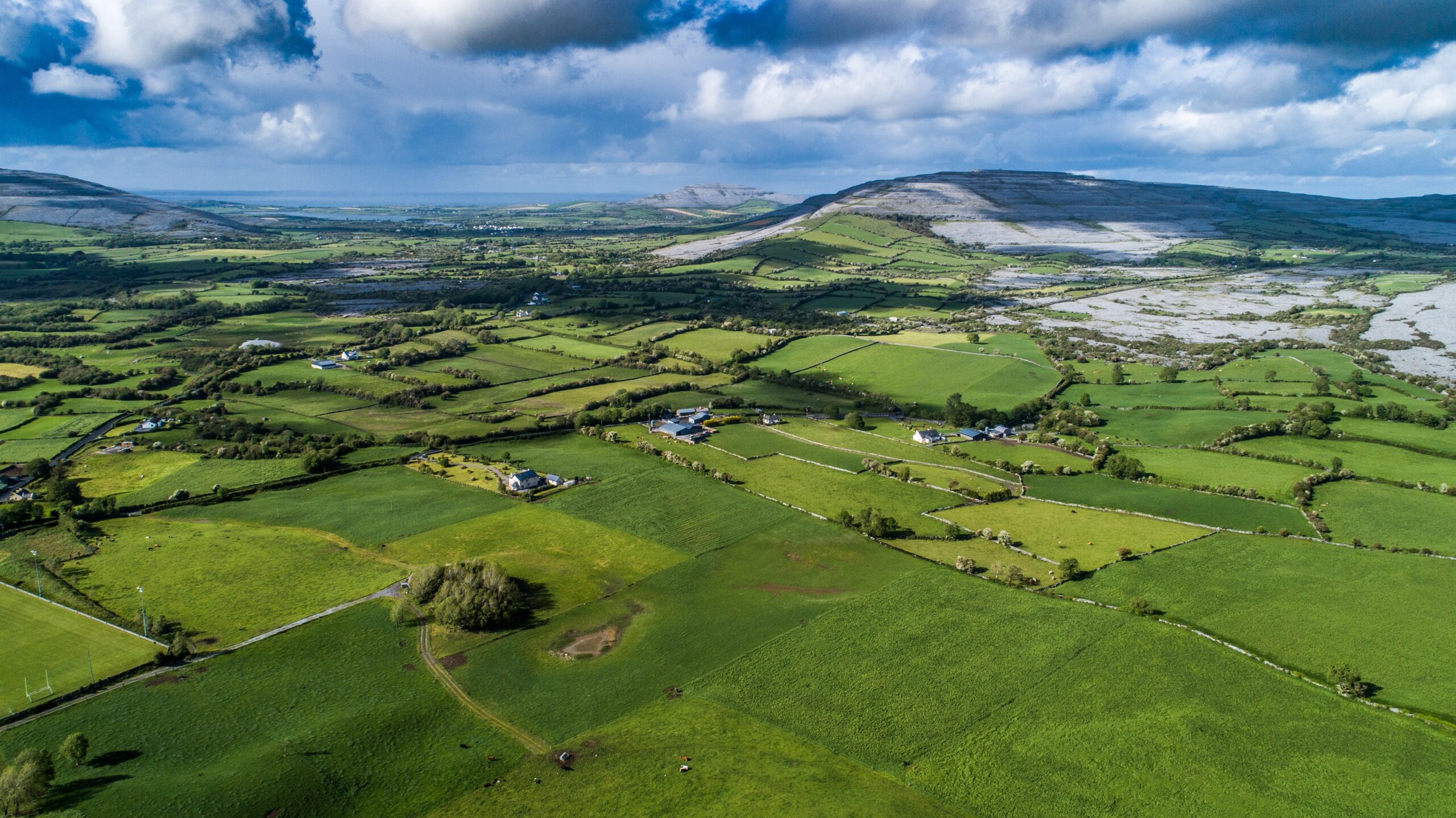 Parkmore FortFairy fort / ringfort · 747 yd
 Church (in Ruins)Church · 1230 yd
 Muckinish PointHeadland · 1496 yd
 Saint Patrick's ChurchHeritage attraction · 1.0 mi
 Shanmuckinish CastleCastle, tower house · 1.3 mi
_-_geograph.org.uk_-_5527885.jpg?width=1280) IndicatedBawn · 1.3 mi
IndicatedBawn · 1.3 mi Abbey HillMountain / peak · 1.5 mi
 Battle of Lough Raskabattle · 1.7 mi
 Corcomroe Abbey Geopark SiteVisitor information · 1.9 mi
Other information
Photo: Credit not shown in the picture search · Rights wording not checked; contact us if this picture should be removed