What is recorded here
In estuarine clay, on E side of Deel estuary. Described by O'Sullivan (2001, 148-9 & 310) as 'post alignment, oriented NE-SW, 5.6m long. Posts survive only as short eroded stumps, with worked points exposed.' A single vertical post provided a radiocarbon date which indicated that the trap was build some time in the late thirteenth century AD (ibid., 148).
Compiled by: Denis Power
Date of upload: 26 August 2011
The monument record does not grant public access. Check the route and ask the landowner before entering private land.
- What survives
- Recorded monument
Places near here
 Ballynash CastleCastle, unclassified · 475 yd
 OutlinedCliff-edge fort · 1084 yd
 Megalithic structure in Tomdeely NorthMegalithic structure · 1144 yd
 Greenish IslandIslet · 1217 yd
 Tomdeely CastleCastle · 1235 yd
 Holly IslandIslet · 1326 yd
 Courtbrown PointHeadland · 1703 yd
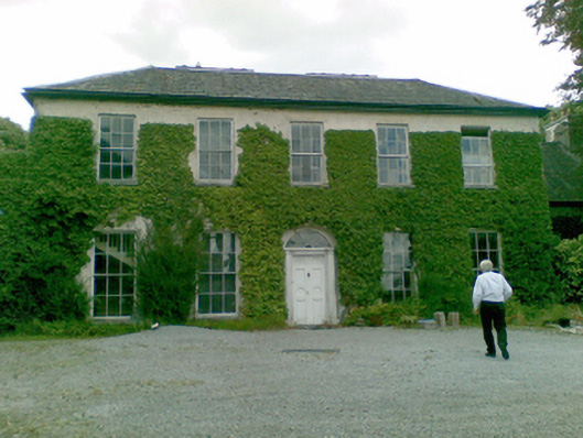 Ballysteen Housecountry house · 1.3 mi
 Turret (in ruins)Building · 1.3 mi
 Askeaton CastleHeritage attraction · 1.9 mi
 Herring RockNamed rock · 2.1 mi
 Foynes Flying Boat & Maritime MuseumMuseum · 5.0 mi