What is recorded here
Weir is a lost medieval fishtrap on the east side of the Deel estuary in County Limerick. Its wooden fence has surrendered to the tide, leaving one small worked post exposed in estuarine clay. The sea took the structure but forgot to erase the purpose: to stop fish, hold water and force people to notice the river’s movement.
In estuarine clay, on E side of Deel estuary. Described by O'Sullivan (2001, 148-9 & 310) as 'a single post 9cm in diameter, 15cm long. Worked end exposed.' Probably from eroded-out medieval fishtrap fence.'
Compiled by: Denis Power
Date of upload: 26 August 2011
The monument record does not grant public access. Check the route and ask the landowner before entering private land.
- What survives
- Recorded monument
Places near here
 Ballynash CastleCastle, unclassified · 472 yd
 OutlinedCliff-edge fort · 1073 yd
 Megalithic structure in Tomdeely NorthMegalithic structure · 1160 yd
 Greenish IslandIslet · 1200 yd
 Tomdeely CastleCastle · 1250 yd
 Holly IslandIslet · 1334 yd
 Courtbrown PointHeadland · 1685 yd
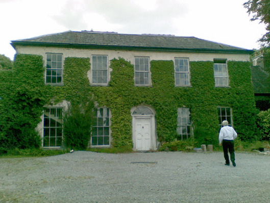 Ballysteen Housecountry house · 1.3 mi
 Turret (in ruins)Building · 1.3 mi
 Askeaton CastleHeritage attraction · 1.9 mi
 Herring RockNamed rock · 2.0 mi
 Foynes Flying Boat & Maritime MuseumMuseum · 5.0 mi