What is recorded here
On a ridge 150m W of Raffony Lough, a wedge tomb cuts through the grass with a gallery aligned WSW-ENE. A septal-stone divides the passage into a 1.5m portico and a main chamber at least 4.3m long, while four outer wall stones mark the N side and two the S. The northern facade-stone links the outer wall to the gallery, and an irregular mound 13m N-S by 12m E-W still encloses the structure. Someone carried these stones up the ridge and set them against the sky, then walked away and let the grass forget the shape of their hands.
Situated on a ridge 150m W of Raffony Lough. A gallery, aligned WSW-ENE, is divided by a septal-stone into a portico, 1.5m long, and main chamber at least 4.3m long. To the N of the gallery there are four outer wall stones and two to the S. The northern of two facade-stones links the outer wall at the N to the gallery side. The portico is represented by two stones of its N side and the main chamber by two stones to the N and four to the S. Within the chamber a stone 0.7m E of the septal-stone may be displaced. An irregular mound, 13m N-S by 12m E-W, encloses the structure. (de Valera and Ó Nualláin 1972, 135, No. 38)
The above description is derived from the published 'Archaeological Inventory of County Cavan' (Dublin: Stationery Office, 1995). In certain instances the entries have been revised and updated in the light of recent research.
Date of upload/revision: 22 December 2008
See linked document with details from Ruaidhrí de Valera and Seán Ó Nualláin, Survey of the Megalithic Tombs of Ireland. Volume III. Counties Galway, Roscommon, Leitrim, Longford, Westmeath, Laoighis, Offaly, Kildare, Cavan. (Dublin: Stationery Office, 1972).
Wedge tomb, dating to the Late Neolithic or Early Bronze Age (c. 2500–1000 BCE). Its chambered structure and orientation are typical of wedge tombs found in Ireland, reflecting early communal burial practices and ritual landscape use.
The monument record does not grant public access. Check the route and ask the landowner before entering private land.
- What survives
- Recorded monument
Places near here
 IndicatedHoly well · 171 yd
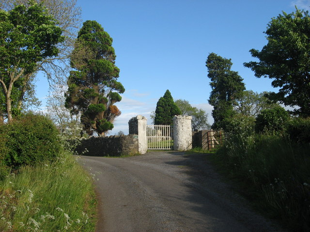 Grave YardGraveyard · 223 yd
 EnaghMountain / peak · 1032 yd
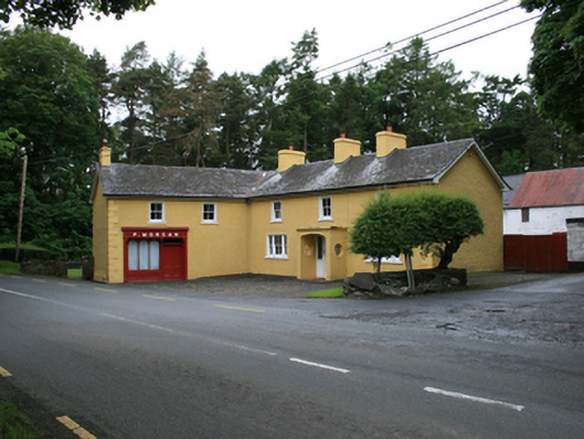 P. Morganfarm house · 1114 yd
 CornasheskMountain / peak · 1138 yd
 Ardlow National Schoolschool · 1553 yd
 The Big Man's GraveArchaeological place · 1.6 mi
 Ramor Aontaithe C.L.G. Dolan ParkMemorial · 1.7 mi
 Sessile OakSessile Oak · 1.7 mi
 Carraig-na-SasanacNamed rock · 1.7 mi
 RahardrumCastle, unclassified · 1.8 mi
 Rahardrum Sand BankWood · 1.8 mi