
What is recorded here
Situated in a state forestry plantation on a slight summit overlooking the Glen between Cruagh and Mountpelier. A megalithic tomb consisting of an irregular low mound (Wth 7m) which contains a number of protruding upright slabs (Ó hÉailidhe 1978, 101-3). The chamber extends E-W, with a W-facing façade and entrance (L 6m; Wth 6m). It is defined by sidestones and one endstone. Running parallel to the sides are remains of a double revetment wall of upright slabs. There are traces of kerbstones in the NW. Both the cairn material and roofing slabs have been removed.
Compiled by: Geraldine Stout and Padraig Clancy
Revised upload on: 8 July 2018
Wedge tomb, dating to the Late Neolithic or Early Bronze Age (c. 2500–1000 BCE). Its location on a prominent summit suggests it may have had ritual or ceremonial significance within the local landscape.
The monument record does not grant public access. Check the route and ask the landowner before entering private land.
- What survives
- Recorded monument
Places near here
 Killakee Wedge TombArchaeological place · 19 yd
 Massey WoodWood · 279 yd
 Massy's GardensRuins · 395 yd
 Dublin Mountains Way Hellfire & Massey SpurWalking route · 649 yd
 Standing StoneArchaeological place · 759 yd
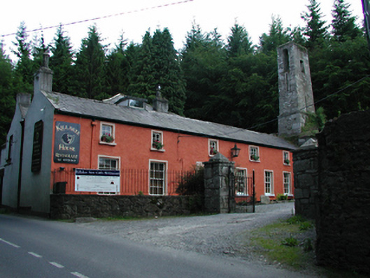 Killakee Househouse · 798 yd
 Dublin Mountains Way - Hellfire & Massey spurWalking route · 814 yd
 Montpelier HillMountain / peak · 1117 yd
 Native WoodlandWood · 1222 yd
 Slieve GorraMountain / peak · 1.2 mi
 Carty's CastleRuins · 1.2 mi
 Saint Ann's WellSpring · 1.7 mi
Other information
Photo: Credit not shown in the picture search · Rights wording not checked; contact us if this picture should be removed