What is recorded here
Kilcatherine is a small ruined wedge tomb set in a cut-away bog beside the Kenmare River, its chamber no larger than a person stretched out with arms wide. One sidestone still stands, another has fallen, and a displaced roof stone lies across the top like a shelf dropped by a giant in a hurry. The sea is close enough to hear, which means the dead who went into that narrow chamber did not choose quiet. They chose the sound of water striking rock, maybe because listening to the river mouth felt closer to staying alive than forgetting the world entirely.
In small area partly cut-away bog to NE of Kilcatherine Point, c. 150m from rocky coastline at mouth of Kenmare River. Small ruined chamber (min. L1.5m; min. W 1m at W) aligned E-W, represented by erect sidestone to N, fallen sidestone to S, closing or septal-stone to W. Displaced roof stone lies above chamber. Three outer-wall stones form a doubling of N side of chamber. Incorporated in low mound. (de Valera and O Nualláin 1982, 33-4, Co. 48)
The above description is derived from the published 'Archaeological Inventory of County Cork. Volume 1: West Cork' (Dublin: Stationery Office, 1992). In certain instances the entries have been revised and updated in the light of recent research.
Date of upload/revision: 14 January 2009
See linked document with details from Ruaidhrí de Valera and Seán Ó Nualláin, Survey of the Megalithic Tombs of Ireland. Volume IV. Counties Cork, Kerry, Limerick, Tipperary. (Dublin: Stationery Office, 1982)
Wedge tomb, dating to the Late Neolithic or Early Bronze Age (c. 2500–1000 BC). Its location near the Kenmare River mouth suggests it may be part of a broader funerary or ritual landscape associated with coastal settlements.
The monument record does not grant public access. Check the route and ask the landowner before entering private land.
- What survives
- Recorded monument
Places near here
 Mound in KilcatherineMound · 188 yd
 TrabaneBeach / strand · 1121 yd
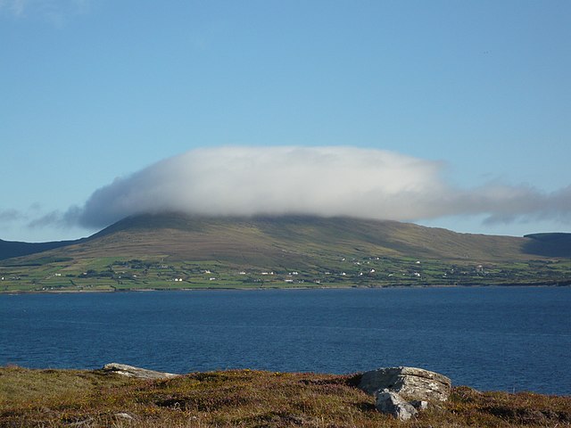 InishfarnardIslet · 1.1 mi
 Kilcatherine Ch (in Ruins)Church · 1.3 mi
 Grave YdGraveyard · 1.3 mi
 Eyeries IslandIslet · 1.5 mi
 Eyeries - Coastguard Station LoopWalking route · 2.1 mi
 Penitential station in BallycrovanePenitential station · 2.2 mi
 Eyeries - Creha Quay LoopWalking route · 2.3 mi
 GortbrackMountain / peak · 2.5 mi
 Pallas StrandBeach / strand · 2.5 mi
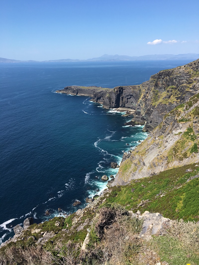 Wild Atlantic WayVisitor information · 3.0 mi