
What is recorded here
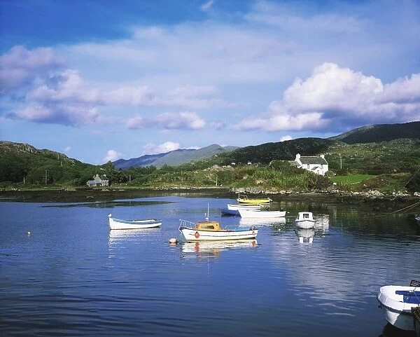
On rock outcrop overlooking Ballydonegan Harbour to W. Kilcatherine church and graveyard (CO102-00501-; CO102-00502-) c. 1.75km to W. Subcircular area (diam. 2.5m) defined by low stones where devotion to St. Catherine was paid on January 31st. Decades of rosary were counted on small quartz pebbles which still remain, thrown into centre of area.
The above description is derived from the published 'Archaeological Inventory of County Cork. Volume 1: West Cork' (Dublin: Stationery Office, 1992). In certain instances the entries have been revised and updated in the light of recent research.
Date of upload/revision: 14 January 2009
Linked to devotion to St. Catherine, this site reflects a tradition of pilgrimage and penitential practices associated with the saint, who is venerated in Ireland for her miracles and protection against illness. St. Catherine is often connected with holy wells and stations where locals sought cures, particularly for eye ailments and female disorders.
The monument record does not grant public access. Check the route and ask the landowner before entering private land.
- What survives
- Recorded monument
Places near here
 coastguard stationcoastguard station · 344 yd
 Enclosure in BallycrovaneEnclosure · 690 yd
 Wild Atlantic WayVisitor information · 754 yd
 Hag of BearaMonument · 1106 yd
 Kilcatherine Ch (in Ruins)Church · 1541 yd
 GortbrackMountain / peak · 1.1 mi
 Eyeries IslandIslet · 1.5 mi
 Eyeries - Coastguard Station LoopWalking route · 1.5 mi
 CarrigleamoreIslet · 1.5 mi
 TrabaneBeach / strand · 1.6 mi
 Eyeries - Creha Quay LoopWalking route · 1.7 mi
 Pallas StrandBeach / strand · 2.3 mi
Other information
Photo: Credit not shown in the picture search · Rights wording not checked; contact us if this picture should be removed