What is recorded here
Eyeries - Creha Quay Loop is recorded as a walking route in County Cork.
- Operator
- Irish National Looped Walks
- Distance
- 6 km
Places near here
Photo credits
- National Inventory of Architectural Heritage
- Nigel Cox https://www.geograph.org.uk/profile/2798, Wikimedia Commons · CC BY-SA 3.0
- A.-K. D., Wikimedia Commons · CC BY-SA 4.0
- Mick Garratt, Wikimedia Commons · CC BY-SA 2.0
Eyeries - Coastguard Station LoopWalking route · 495 yd water pump499 ydworkshop538 ydCarrigleamoreIslet · 638 ydThe BullIslet · 686 ydPallas StrandBeach / strand · 1029 ydWild Atlantic WayVisitor information · 1278 ydHag of BearaMonument · 1.5 miGraveyard1.5 miTrabaneBeach / strand · 1.7 miWild Atlantic WayVisitor information · 1.8 miMiskish MountainMountain / peak · 1.8 mi
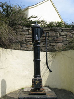 water pump499 yd
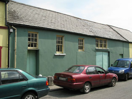 workshop538 ydCarrigleamoreIslet · 638 ydThe BullIslet · 686 ydPallas StrandBeach / strand · 1029 ydWild Atlantic WayVisitor information · 1278 yd
 Hag of BearaMonument · 1.5 mi
 Graveyard1.5 miTrabaneBeach / strand · 1.7 miWild Atlantic WayVisitor information · 1.8 mi
 Miskish MountainMountain / peak · 1.8 mi
More walking routes in County Cork · All of County Cork
What do you know about this place?