
What is recorded here
In rough grazing, on S-facing slope overlooking Coulagh Bay. Identified by O'Brien (1970, 20) as indeterminate site. Trench, U-shaped in plan, excavated on hillside with upcast forming roughly rectangular mound (H 0.8m); appearance of modern man-made feature.
The above description is derived from the published 'Archaeological Inventory of County Cork. Volume 1: West Cork' (Dublin: Stationery Office, 1992). In certain instances the entries have been revised and updated in the light of recent research.
Date of upload/revision: 14 January 2009
A roughly rectangular earthen mound, possibly Neolithic in date; its function and wider significance remain indeterminate.
The monument record does not grant public access. Check the route and ask the landowner before entering private land.
- What survives
- Recorded monument
Places near here
 TrabaneBeach / strand · 1037 yd
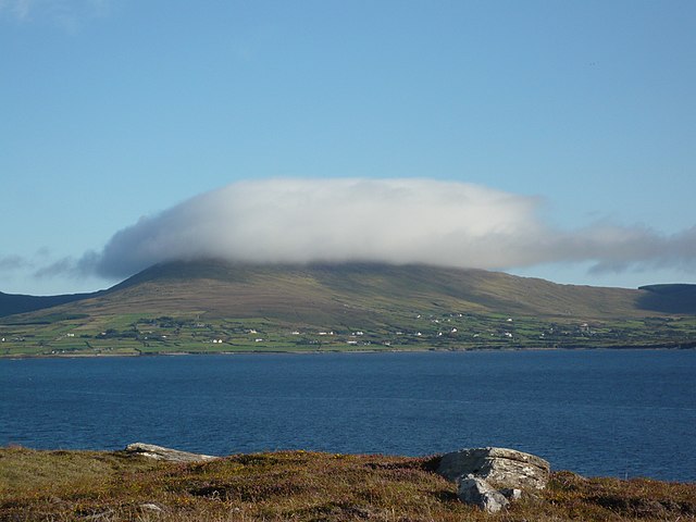 InishfarnardIslet · 1.0 mi
 Kilcatherine Ch (in Ruins)Church · 1.3 mi
 Grave YdGraveyard · 1.3 mi
 Eyeries IslandIslet · 1.4 mi
 Hag of BearaMonument · 1.5 mi
 Eyeries - Coastguard Station LoopWalking route · 2.0 mi
 Penitential station in BallycrovanePenitential station · 2.1 mi
 Eyeries - Creha Quay LoopWalking route · 2.2 mi
 Pallas StrandBeach / strand · 2.4 mi
 GortbrackMountain / peak · 2.6 mi
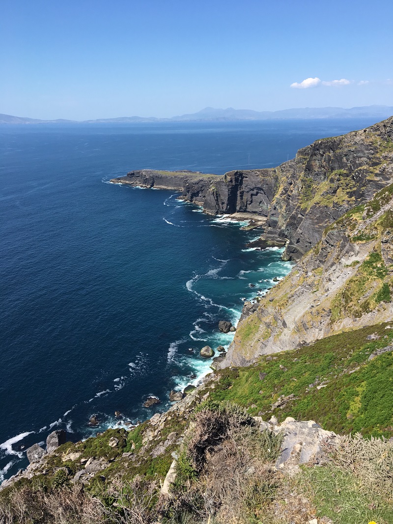 Wild Atlantic WayVisitor information · 2.9 mi
Other information
Photo: Credit not shown in the picture search · Rights wording not checked; contact us if this picture should be removed