What is recorded here
Doire Na Sagart holds a collapsed wedge tomb where peat cutting exposed a chamber before the sidestones fell inward. The roofstone, two metres across, still lies buried beneath conifers planted decades after the ruin. Two other wedge tombs dot the same mountain, suggesting this was not a lonely grave but a line of them. The forest has taken back what the men built, leaving only a heap of stones to mark the forgetting.
Within a dense coniferous forest planted in the 1970s, on the upper SW-facing slopes of Knockacommeen. According to local information, when peat was cut in this general area in the 1960s a chamber was exposed consisting of a large roofstone resting on upright slabs. The structure collapsed in the late 1960s when the sidestones shifted inwards. A series of large displaced stones are visible at the site, including the possible roofstone (2.2m x 2m); these are largely concealed beneath forest clearance and debris. The description of the monument is indicative of a megalithic tomb, and given that two other wedge tombs occur on the mountain (CO058-060---- and especially CO058-076----, c. 500m and c. 1.1km, respectively to the ENE), this might be considered another example of this class.
The above description is derived from 'The Archaeological Inventory of County Cork. Volume 5' (Dublin: Stationery Office, 2009).
Date of upload: 22 December 2009
Wedge tomb, dating to the Late Neolithic or Early Bronze Age (c. 2500–1000 BCE). Its location on a prominent slope suggests it may have had ritual or communal significance for early farming communities in the region.
The monument record does not grant public access. Check the route and ask the landowner before entering private land.
- What survives
- Recorded monument
Places near here
 Wedge tomb in Doire Na SagartWedge tomb · 541 yd
 KnockacommeenMountain / peak · 1091 yd
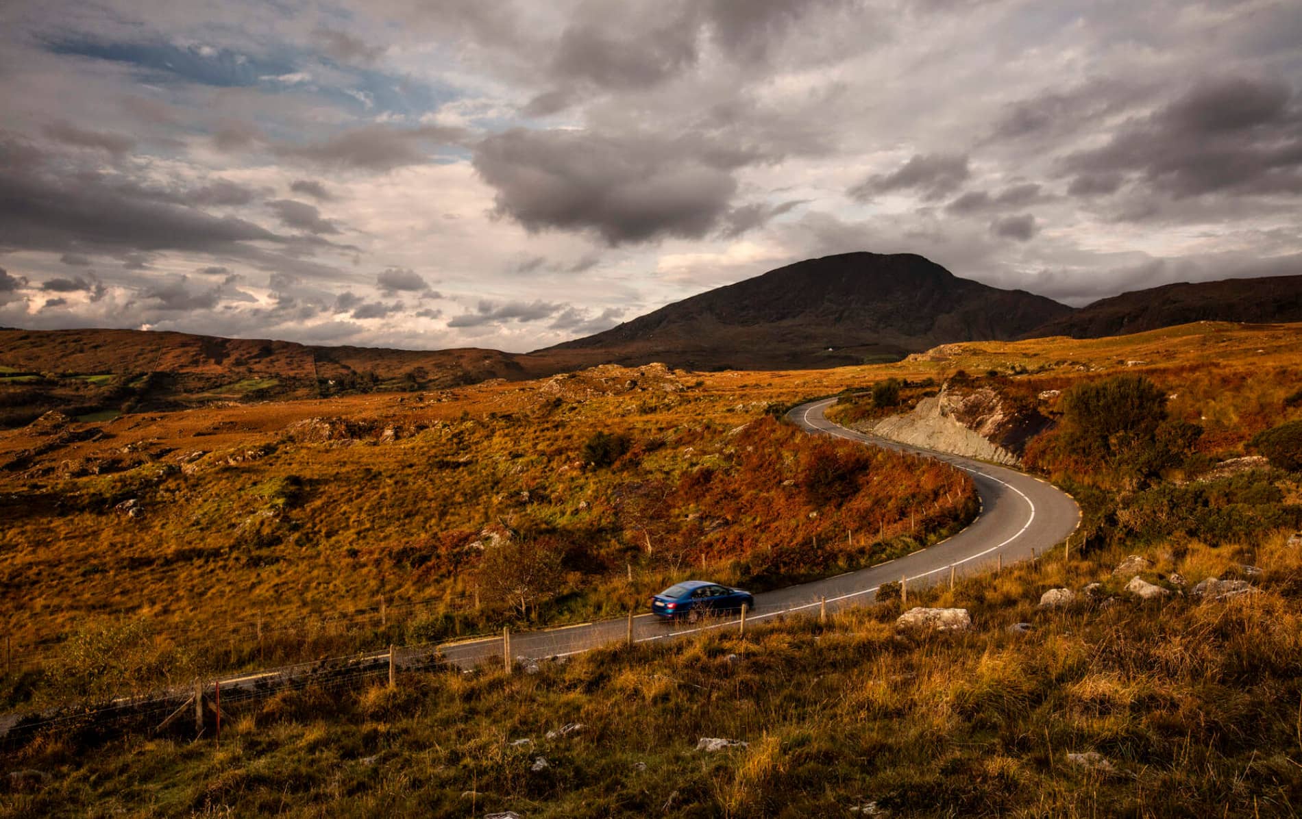 RoadRoad, road/trackway · 1.3 mi
 Megalithic structure in DerryreagMegalithic structure · 1.6 mi
 An Cnoc BuíMountain / peak · 1.8 mi
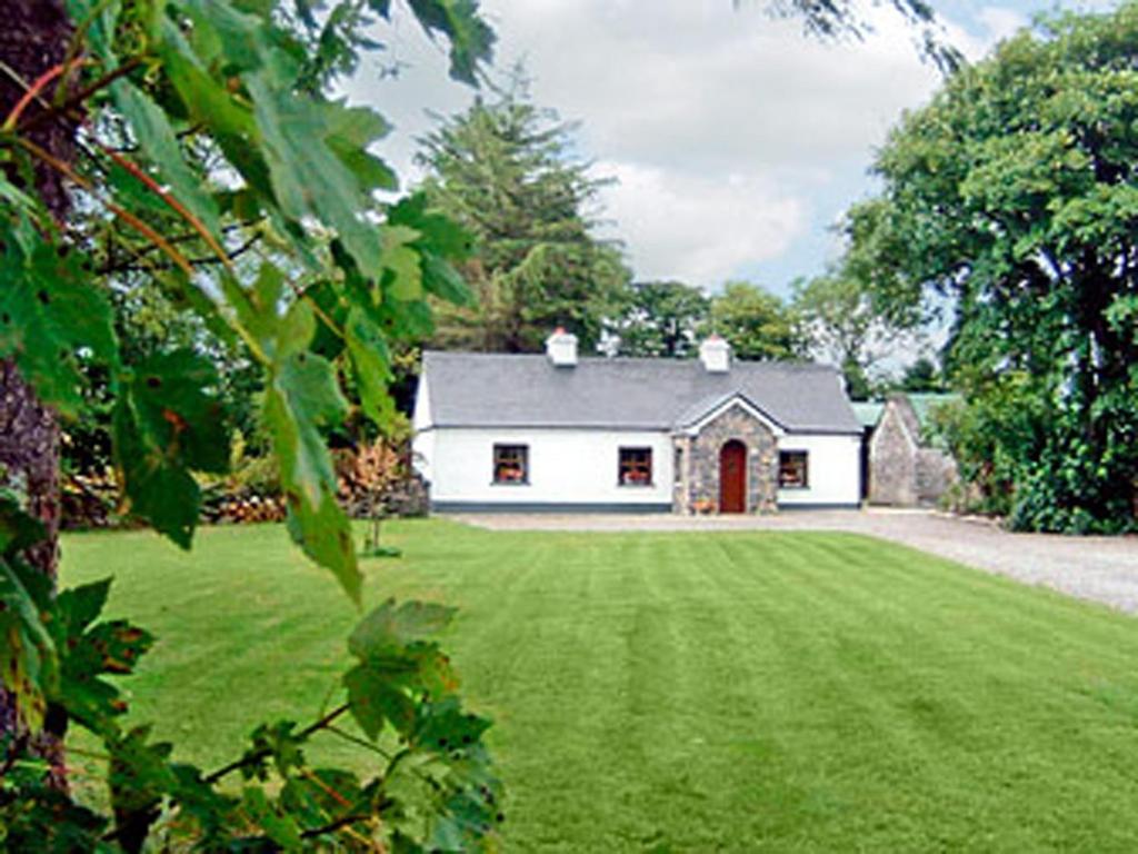 Clydagh LodgeCountry house · 1.9 mi
 Cascade WoodWood · 3.4 mi
 Castle (Site of)Castle, unclassified · 3.5 mi
 Kealaboane WoodWood · 4.3 mi
 CastleCastle, unclassified · 4.4 mi
 Sli Gaeltacht MuscraiWalking route · 4.5 mi
 European long distance path E8 - part IrelandWalking route · 5.0 mi