What is recorded here
A land grant to Gerald McRory Farrall in 1621 lists a water mill (Cal. pat. rolls Ire., Jas I, 533) and it is also recorded in an inquisition taken in 1632 (Anon. 1826, Inq. 12 Car 1). It is depicted on the Down Survey (1655-6) map of Abbeyshrule barony (NLI MS 76) as a vertical-wheeled water mill on a stream, a short distance to the S of Barry Castle (LF023-076----). Its precise location has not been identified.
Compiled by: Caimin O'Brien
Date of upload: 7 February 2013
The monument record does not grant public access. Check the route and ask the landowner before entering private land.
- What survives
- Recorded monument
Places near here
 Enclosure in Barry (shrule By., Ballymahon Ed)Enclosure · 519 yd
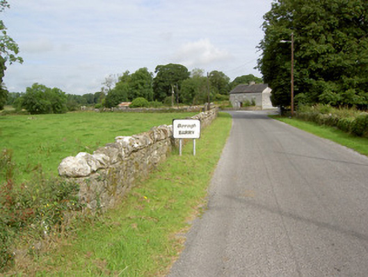 gates/railings/wallsgates/railings/walls · 544 yd
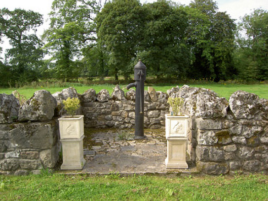 water pumpwater pump · 553 yd
 Barry CastleCastle, unclassified · 636 yd
 Indicated FortFairy fort / earthen ringfort · 897 yd
 Bawn in TirlickeenBawn · 1.4 mi
 Newcastle WoodsForest · 2.1 mi
 Target WoodWood · 2.4 mi
 European BeechEuropean Beech · 3.3 mi
 Corlea Bog Walk Canal BranchWalking route · 3.6 mi
 Corlea Trackway Interpretative CentreHeritage attraction · 3.8 mi
 Corlea Bog Walk Blue LoopWalking route · 4.2 mi