What is recorded here
A land grant to Robert O'Farroll in 1621 included a water mill (Cal. pat. rolls Ire., Jas I, 533). Its precise location has not been identified.
Compiled by: Caimin O'Brien
Date of upload: 7 February 2013
The monument record does not grant public access. Check the route and ask the landowner before entering private land.
- What survives
- Recorded monument
Places near here
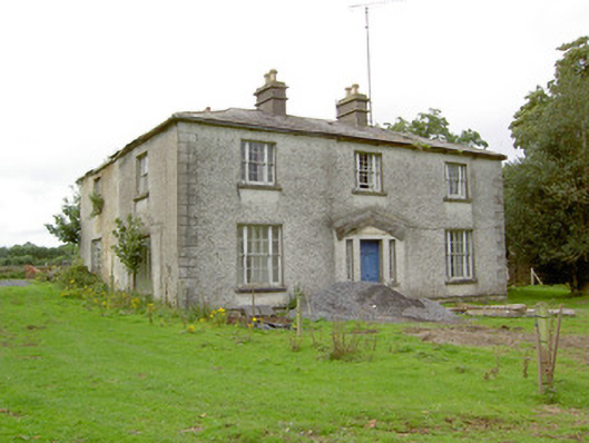 Danesforthouse · 933 yd
 Graveyard in Curry (ardagh By., Coolamber Ed)Graveyard · 1019 yd
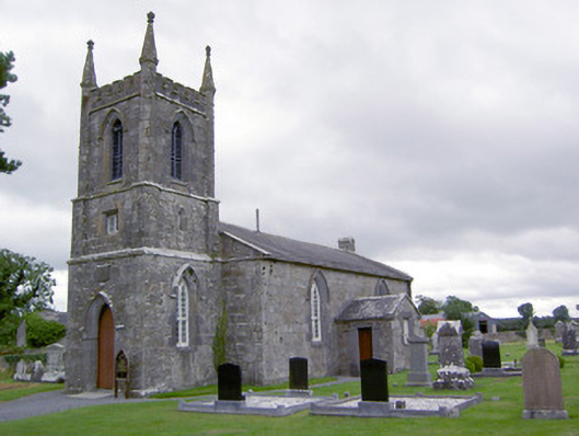 Saint Catherine's Church (Ballymacormick)church/chapel · 1027 yd
 Enclosure in MountjessopEnclosure · 1037 yd
 IndicatedFairy fort / earthen ringfort · 1043 yd
 Bawn Castle & NunneryHouse, fortified house · 1.9 mi
 First World War MemorialMemorial · 2.5 mi
 Saint Mel's CathedralCathedral · 2.7 mi
 Bawn in AbbeycartronBawn · 2.8 mi
 Commons North WalkVisitor information · 7.6 mi
 Wild birdsVisitor information · 7.7 mi
 White Sand WoodWood · 7.9 mi