What is recorded here
Civil Survey (1654-6) refers to 'two mills decayinge' on the Ollatrim River in this area (Simington, 1934, vol.2, 219). The site was tentatively located to a mill indicated as 'Old Mill'on the 2nd ed.OS 6-inch map. Field inspection established that this mill is of late-eighteenth century in date. There is no visible trace of any earlier structure. The seventeenth-century mill remains unlocated within the townland.
Compiled by: Jean Farrelly and Caimin O'Brien
Date of upload/revision: 22 September 2008
This remains an important historical record, but the official description says the monument is no longer visible or has been destroyed. The monument record does not grant public access. Check the route and ask the landowner before entering private land.
- What survives
- No visible remains or recorded as destroyed
Places near here
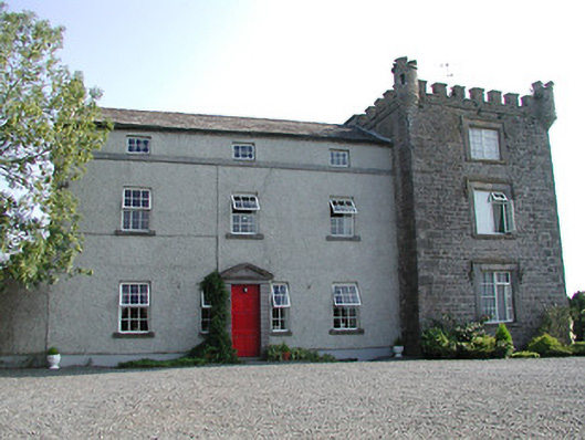 Castle Willingtoncountry house · 551 yd
 Hermitagecountry house · 582 yd
 Ballymackey CastleCastle · 1035 yd
 Enclosure in ElmhillEnclosure · 1.0 mi
 Enclosure in MiddlewalkEnclosure · 1.5 mi
 CastleCastle, tower house · 1.9 mi
 James Devaney MemorialMemorial · 2.0 mi
 Ballycapple WoodForest · 2.8 mi
 Kyleroe WoodWood · 3.7 mi
 Gibbet HillMountain / peak · 4.3 mi
 Old BarracksHeritage attraction · 4.4 mi
 Nenagh Heritage CentreMuseum · 4.6 mi