What is recorded here
A watermill within Clonoulty Churchquarter townland is marked on the Down Survey map (1655-6). The exact location of this monument is unknown.
Compiled by: Jean Farrelly
Date of upload: 26 August 2011
The monument record does not grant public access. Check the route and ask the landowner before entering private land.
- What survives
- Recorded monument
Places near here
 St. Johns WellHoly well · 324 yd
 St Johns ChurchReligious house, Knights Templars · 381 yd
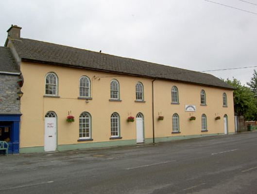 Clonoulty National Schoolschool · 445 yd
 Clonoulty HillMountain / peak · 1255 yd
 Megalithic structure in Corbally (clogher Par.)Megalithic structure · 1322 yd
 Graigone Castle (in ruins)House, fortified house · 1.2 mi
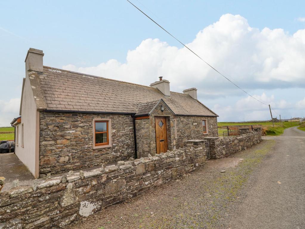 Bawn in ClogherBawn · 1.2 mi
 Drum WoodWood · 2.3 mi
 Wych ElmWych Elm · 4.0 mi
 Ring HillMountain / peak · 4.8 mi
 Cormackstown Heritage CentreMuseum · 5.4 mi
 Soloheadbeg Ambushambush · 10 mi