DDiscover AloneMapAbout

Signal tower, location

Signal tower
Computer-made picture that does not show Signal tower, locationNot a photo of this monument
Computer-made picture. It does not show this monument. · Report the wrong picture

The monument record does not grant public access. Check the route and ask the landowner before entering private land.

What do you know about this place?Tap to add a comment or ask a question

What you write will be public.

What is recorded here

Situated on a low hill immediately adjacent to the E side of a narrow point along the main shipping approach to Cork Harbour to the NW and N (OD c. 70m). Roche’s Point, to the E side of the mouth of the harbour, located c. 2.4kms to the S\SSE. The signal station was located within the confines of Fort Carlisle (now…

Read the whole record
Situated on a low hill immediately adjacent to the E side of a narrow point along the main shipping approach to Cork Harbour to the NW and N (OD c. 70m). Roche’s Point, to the E side of the mouth of the harbour, located c. 2.4kms to the S\SSE. The signal station was located within the confines of Fort Carlisle (now Fort Davis; SMR CO087-058----). However, the exact location has not been determined but it would have been located no more than c. 150m E of the coastline. Likely sites for the signal station are located to the SE end of the main battery\fortifications at Fort Carlisle\Fort Davis where higher ground provides better visibility to the approaches to the harbour from the S and intervisibility with the adjacent contemporaneous signal station\tower sites in the chain to SW and E. The site of Carlisle Fort\Fort Davis is generally level to the E side (of the current enclosed complex) but the land slopes down gradually to the W to the coastline. The area within Carlisle Fort\Fort Davis is now characterised by rough vegetation; the landscape to the immediate E outside of fortification boundary consists generally of arable land (with some pastureland) with a large modern oil refinery located immediately adjacent to the NE of site. The adjacent stations in the signal station\tower chain are found at the Britfieldstown, Robert’s Head (CO113-015---), located c. 13.7kms to the SW, which survives in relatively good condition, and at Ballynacotter (CO089-048----), located c. 13.3kms to the E, which survives in good condition and is now incorporated into a dwelling. The signal crew were presumably housed within existing buildings available at the fort, and the only addition to site is likely to have been limited to the erection of the signal mast that Kerrigan established was in place in 1805 (Kerrigan 1995, 277). Carlisle Fort was in existence by the mid-early-to sixteenth century (established by c. 1607) but the site has undergone numerous and extensive phases of alteration and modernisation on many occasions since (Hartnett McEnery 2006, 7, 44-6, 126-8). The complex visible onsite today dates mainly from the 1860s onwards when it was extensively modernised and expanded as it was considered as a site strategically vital to British naval interests. The fortifications and ancillary complexes depicted on the Ordnance Survey first ed. six-inch map, surveyed 1841-2, is expansive and complex. However, there is no indication of where a signal station\tower was situated. The site (2020) survives in a relatively good condition, and features multiple lines of fortification with multiple barrack buildings and ancillary structures) including ditches, banks, walls, bastions, batteries, and numerous barracks (CO087-058----). The site is currently owned by the Department of Defence and is still used by the Irish Army. It has been called Fort Davis since 1938. The signal station was part of a system of over 80 signal stations constructed by the British Board of Ordnance in the first decade of the nineteenth century to warn of the approach of a French invasion fleet. Signalling between sites was accomplished using a naval signal post. The system formed a continuous chain from Dublin Bay running clockwise all the way around the coast to Malin Head in County Donegal. It was abandoned by the mid-1810s when the threat of a French invasion diminished (Kerrigan 1995, 157-66).

From the National Monuments Service (Archaeological Survey of Ireland) record CO087-058001

Places near here

Photo credits
  • National Inventory of Architectural Heritage
  • Maker not stated on source page, en.wikipedia.org
  • Maker not stated on source page, commons.wikimedia.org
  • Greg Clarke, Wikimedia Commons · CC BY 2.0
  • Maker not stated on source page, www.harbourmaps.com
  • Maker not stated on source page, ru.pinterest.com
  • Maker not stated on source page, www.familyeducation.com
  • Andrew Wood, Geograph · CC BY-SA 2.0
Fort DavisBattery · 78 yd

Explorer Tom This Fort Davis battery is part of that same defensive duo, built around 1870. It’s got concrete magazines and look-out…

Fairy fort / earthen ringfort in CarlislefortFairy fort / earthen ringfort · 434 yd

Explorer Tom Fairy fort / earthen ringfort in Carlislefort was levelled by military authorities. Soldiers just flattened it! Check…

Fort Carlisle Military GraveyardGraveyard · 691 yd

Explorer Tom Fort Carlisle Military Graveyard had a first owner who planned an escape route so elaborate it probably involved a zip…

Camden FortFortification · 1347 yd

Explorer Tom Camden Fort is sitting up there judging your outfit and probably writing a scathing review of your life choices on its…
Camden Fort MeagherBarracks · 1388 yd

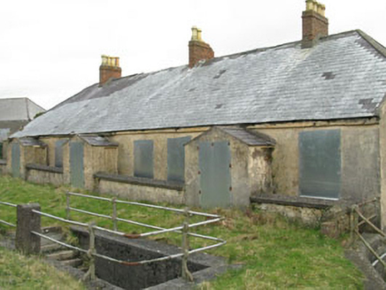
Explorer Tom Camden Fort Meagher in Crosshaven Hill is full of barrack buildings that were built for the British Empire's defence…
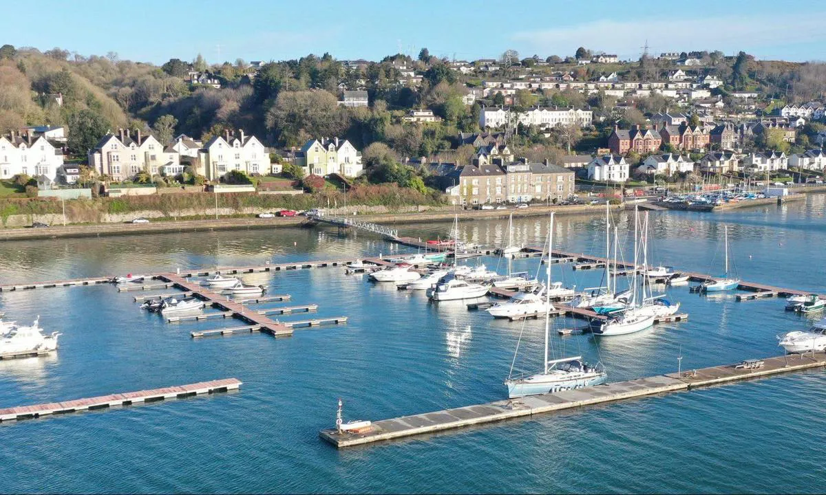
Crosshaven GAA pitchGAA ground · 1723 ydSaint Michael's Church of Ireland ChurchChurch/chapel · 1.2 mi

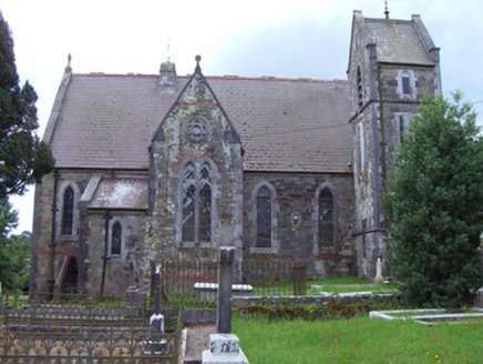
Explorer Tom Saint Michael's Church of Ireland Church in Corkbeg would teach history by showing you its ruined predecessor and…

mens poolBeach / strand · 1.4 mi

Explorer Tom Mens pool in County Cork sounds like a place where men go to swim, but it’s actually just a rocky dip that makes you…

Saint Patrick's CemeteryCemetery · 1.5 mi

Explorer Tom Saint Patrick's Cemetery has a hidden message in its stones that says 'Stop Touching The Moss' if you look closely…

Church Bay BeachBeach / strand · 1.5 mi

Explorer Tom Church Bay near Crosshaven is a beach with a secret written across its rocks. Swim or sit on the shore if conditions…
Point HouseHouse · 1.6 mi

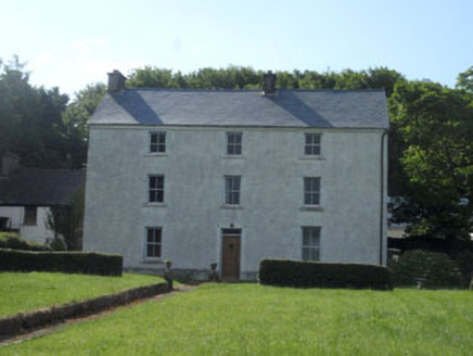
Explorer Tom Point House in Crosshaven has been staring at the harbour since 1740, likely judging your boat skills. It’s one of the…

CroninsHotel · 1.7 mi

Explorer Tom Cronins in Crosshaven claims Queen Victoria stayed there and drank a cup of tea, though I suspect she just used the…

More archaeology and monuments in County Cork · All of County Cork

Add to this placeAdd a picture Add a detailed tip Add a story

Explore the map1,095,414 places to discover

Next place · or swipeFort Davis