What is recorded here
Scotland's National Record of the Historic Environment records U 1009 (possibly) as Submarine (period Unassigned)-(1946). The official map says its point is accurate as follows: NGR given to the nearest 1m. The record does not by itself mean that the public may enter the place.
U 1009 was a German U-boat, likely of the Type VIIC, built during World War II and surrendered to the Allies in 1945. It was scuttled in 1946 as part of the post-war disposal of surrendered German submarines, with no lives lost; its significance lies in contributing to the inventory of wartime naval remnants in Scottish waters.
The historic-place record does not grant public access. Check current conditions and ownership before entering land or a building.
Places near here
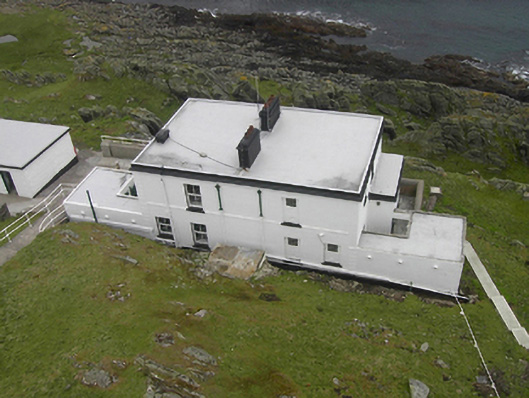 Inishtrahull Lighthouselighthouse keeper's house · 8.9 mi
 Mass-rock in InishtrahullMass-rock · 8.9 mi
 Inishtrahull SchoolRuins · 8.9 mi
 InishtrahullIsland · 9.1 mi
 EIRE 80 signSecond World War neutrality sign · 9.9 mi
 Wild Atlantic Way:Malin HeadVisitor information · 10.0 mi
 Malin HeadHeritage attraction · 10.0 mi
 Malin TowerSignal tower · 10.0 mi
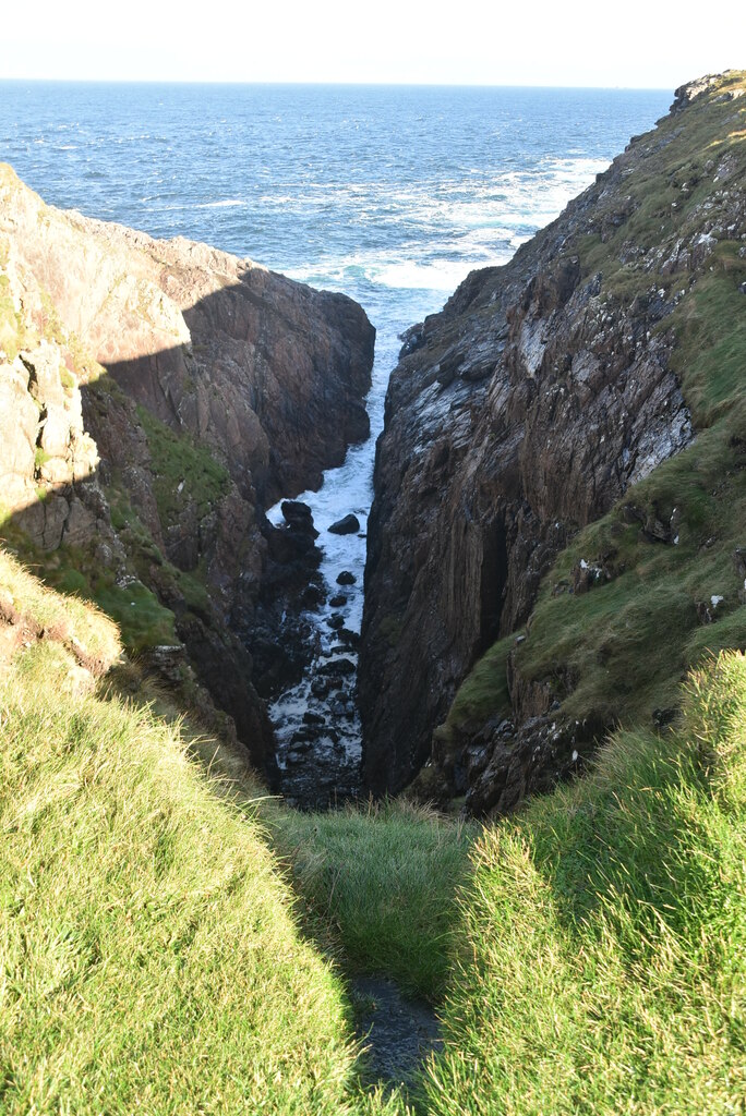 Hell's Hole Cavern, Malin HeadSea cavern and cliff chasm · 10 mi
 Dunaff HillMountain / peak · 17 mi
 Glenevin Waterfall WalkOfficial walking route · 18 mi
 Clonmany Early Church GraveyardGraveyard · 18 mi