
What is recorded here
An18th century Church of Ireland church, now in ruins, which was built in 1772, possibly stands on the site of an earlier church; a castle (DG010-011004-) and church are marked on Phillip’s map of 1690 in the area where Clonmany church and graveyard is located (Davies & Swan 1939, 198-9).
From the National Monuments Service (Archaeological Survey of Ireland) record DG010-011
The monument record does not grant public access. Check the route and ask the landowner before entering private land.
- What survives
- Recorded monument
Places near here
 Clonmany Church of Ireland Parish ChurchChurch/chapel · 1 yd
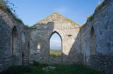 Clonmany Early Church GraveyardGraveyard · 14 yd
 Glenevin Waterfall WalkOfficial walking route · 611 yd
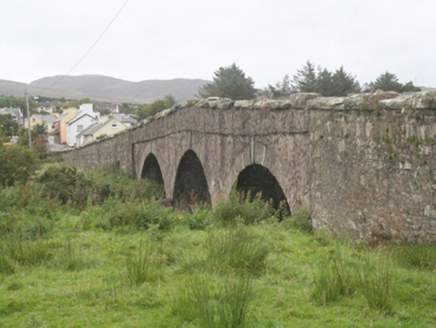 Clonmany BridgeBridge · 780 yd
 Glenevin WaterfallWaterfall · 1098 yd
 Glenevin Waterfall, ClonmanyWaterfall · 1098 yd
 Raghtin MoreMountain / peak · 1.6 mi
 BulbinMountain / peak · 2.8 mi
 Gap of Mamore ViewpointViewpoint · 3.2 mi
 Mamore GapViewpoint · 3.5 mi
 Saint Éigneach's WellHoly well · 3.5 mi
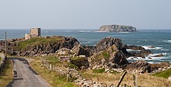 Glashedy IslandIslet · 3.9 mi
Pictures: Andreas F. Borchert, Wikimedia Commons · CC BY-SA 4.0; N Chadwick, Geograph · CC BY-SA 2.0; National Inventory of Architectural Heritage; N Chadwick, Wikimedia Commons · CC BY-SA 2.0; David Ayrton, Geograph · CC BY-SA 2.0; Michael Murtagh, Geograph · CC BY-SA 2.0; Michael Dibb, Geograph · CC BY-SA 2.0; Carroll Pierce, Wikimedia Commons · CC BY-SA 2.0
More historic places in County Donegal · All of County Donegal
What do you know about this place?