
What is recorded here
St. Columbkille's well is a modernised shrine at the summit of the Mamore Gap. Described by Ó Muirgheasa in 1936 as 'The Holy Well in the Gap of Mamore, near Clonmany, is said to have been dedicated to St. Aigne, from whom Desert Aigne is called. The turus is made on the 15th August. Pilgrims go around seven cairns on their bare feet, and finish up at the well. It is known as Turus a' Mhaidhm Moir. Tobar a' Mhaidhm Moir is referred to in Maghtochairs Inishowen at page 84 as follows :-" Near the extremity of the gap is a Holy Well, where the country people hold a station on the 15h August. Tradition says that a saint of old retired to this mountain fastness to meditate on the great Creator and supplicate His mercy and protection; and surely no more suitable spot for such a purpose could be found"' (Ó Muirgheasa 1936, 157). (Ó Muirgheasa No. 90)
The above description was derived from the 'Archaeological Survey of County Donegal. A description of the field antiquities of the County from the Mesolithic Period to the 17th century.' Compiled by: Brian Lacey with Eamon Cody, Claire Cotter, Judy Cuppage, Noel Dunne, Vincent Hurley, Celie O'Rahilly, Paul Walsh and Seán Ó Nualláin (Lifford: Donegal County Council, 1983).
St. Columbkille's well is a modernised shrine at the summit of the Mamore Gap. Described by Ó Muirgheasa in 1936 as 'The Holy Well in the Gap of Mamore, near Clonmany, is said to have been dedicated to St. Aigne, from whom Desert Aigne is called. The turus is made on the 15th August. Pilgrims go around seven cairns on their bare feet, and finish up at the well. It is known as Turus a' Mhaidhm Moir. Tobar a'…
From the National Monuments Service (Archaeological Survey of Ireland) record DG009-005
The monument record does not grant public access. Check the route and ask the landowner before entering private land.
- What survives
- Recorded monument
Places near here
 Mamore GapViewpoint · 17 yd
 Mamore HillMountain / peak · 807 yd
 Gap of Mamore ViewpointViewpoint · 1192 yd
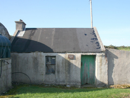 forge/smithy1382 yd
 Urris HillsMountain / peak · 1.1 mi
 outbuilding1.3 mi
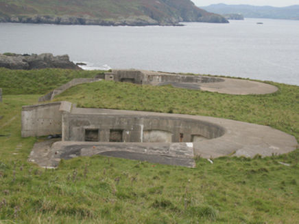 Lenan FortCoastal defence battery · 1.6 mi
 Glenevin WaterfallWaterfall · 2.9 mi
 Glenevin Waterfall, ClonmanyWaterfall · 2.9 mi
.jpg/250px-Ballyannan_(3).jpg "Photo: Wanfried-Dublin, Wikimedia Commons · CC BY-SA 4.0") Ballyannan Portal TombPortal tomb · 3.1 mi
Ballyannan Portal TombPortal tomb · 3.1 mi Dunree CentreMuseum · 3.3 mi
 Dunree HeadHeadland · 3.3 mi
Pictures: Carroll Pierce, Wikimedia Commons · CC BY-SA 2.0; Andreas F. Borchert, Wikimedia Commons · CC BY-SA 3.0 de; Michael Dibb, Geograph · CC BY-SA 2.0; National Inventory of Architectural Heritage; Patrice78500, Wikimedia Commons · Public domain; N Chadwick, Wikimedia Commons · CC BY-SA 2.0; David Ayrton, Geograph · CC BY-SA 2.0; Wanfried-Dublin, Wikimedia Commons · CC BY-SA 4.0; N Chadwick, Geograph · CC BY-SA 2.0
More archaeology and monuments in County Donegal · All of County Donegal
What do you know about this place?