What is recorded here
Marked 'Killoran Burial Ground' (DG010-002005-) on the map. This is a subcircular enclosure defined by a low earthen bank, which encompasses a cross-inscribed stone (DG010-002003-), a probable broken cross (DG010-002002-), a small stone cross (DG010-002007-) and traces of a rectangular foundation (DG010-002001-), the long axis of Which is orientated E-W. This measures approximately 5.5m × 4m. Due W of the enclosure, situated at the edge of a rock platform, are two foundations, one apparently circular (DG010-002004-) and a second N of it which is rectangular (DG010-002008-). To the NE of the latter are two other possible foundations (DG010-002008/009-). The site is situated on a flattish platform on the SW slope of Binnion Hill. The surrounding terrain is rough and rocky, with good views along the coast.
The above description was derived from the 'Archaeological Survey of County Donegal. A description of the field antiquities of the County from the Mesolithic Period to the 17th century.' Compiled by: Brian Lacey with Eamon Cody, Claire Cotter, Judy Cuppage, Noel Dunne, Vincent Hurley, Celie O'Rahilly, Paul Walsh and Seán Ó Nualláin (Lifford: Donegal County Council, 1983). In certain instances the entries have been revised and updated.
Date of upload: 22 September 2008
A local church or high cross; wider significance not recorded.
The monument record does not grant public access. Check the route and ask the landowner before entering private land.
- What survives
- Recorded monument
Places near here
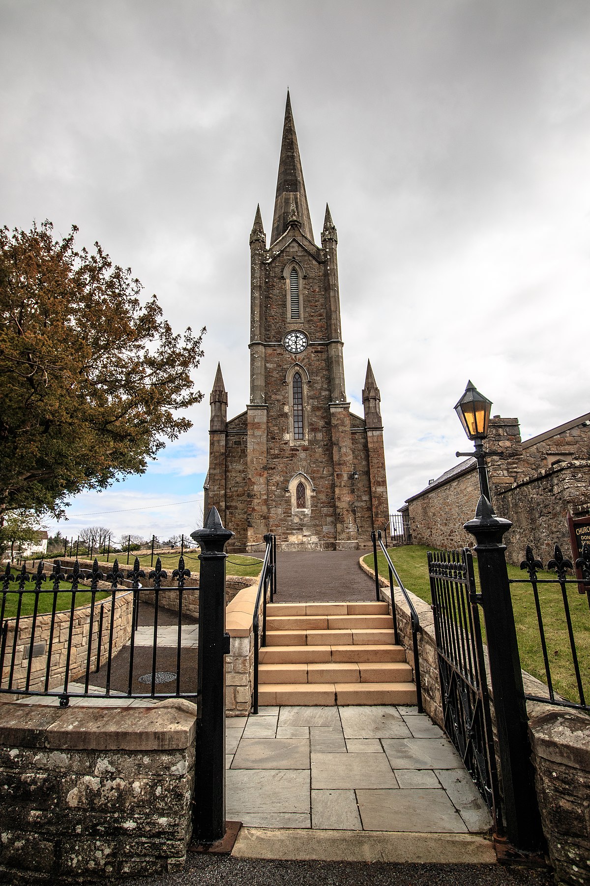 Church in Binnion (straid Ed)Church · 11 yd
 Glenevin Waterfall WalkOfficial walking route · 1473 yd
 Clonmany ChurchChurch · 1501 yd
 Clonmany Early Church GraveyardGraveyard · 1504 yd
 Ritual siteRitual site, holy/saint's stone · 1506 yd
 Former Gaddyduff Fairy FortFairy fort / ringfort · 1605 yd
 Glenevin WaterfallWaterfall · 1.3 mi
 Glenevin Waterfall, Clonmanywaterfall · 1.3 mi
 Raghtin MoreMountain / peak · 2.3 mi
 Glashedy IslandIslet · 3.0 mi
 Glendowen craft shopHeritage attraction · 3.1 mi
 Bawn in CarrickabraghyBawn · 3.3 mi