What is recorded here
This standing stone, known as the Two Mile Stone, is c. 2.5m high × c. 1.45 wide at base × c. 0.45m thick; NNE-SSW. It is surrounded by packing stones and there are some very small stones forming a paved area to the E. Situated on Two Mile Ridge. A roadway, bounded by two low, clay and stone banks, leads up to it. (no. 498, p. 88)
The 'Two Mile Stone' is 2.25m in height, 1.45m NNE-SSW at base and 0.45m thick. It is situated on Two Mile Ridge beside a roadway. (no. 918, p. 154)
The above descriptions was derived from the 'Archaeological Survey of County Donegal. A description of the field antiquities of the County from the Mesolithic Period to the 17th century.' Compiled by: Brian Lacey with Eamon Cody, Claire Cotter, Judy Cuppage, Noel Dunne, Vincent Hurley, Celie O'Rahilly, Paul Walsh and Seán Ó Nualláin (Lifford: Donegal County Council, 1983). In certain instances the entries have been revised and updated.
Date of upload: 22 September 2008
Dated to the Late Neolithic or Early Bronze Age, the Two Mile Stone may have functioned as a territorial marker or ceremonial monument. Its orientation and surrounding stones suggest possible ritual use or alignment with seasonal events.
The monument record does not grant public access. Check the route and ask the landowner before entering private land.
- What survives
- Recorded monument
Places near here
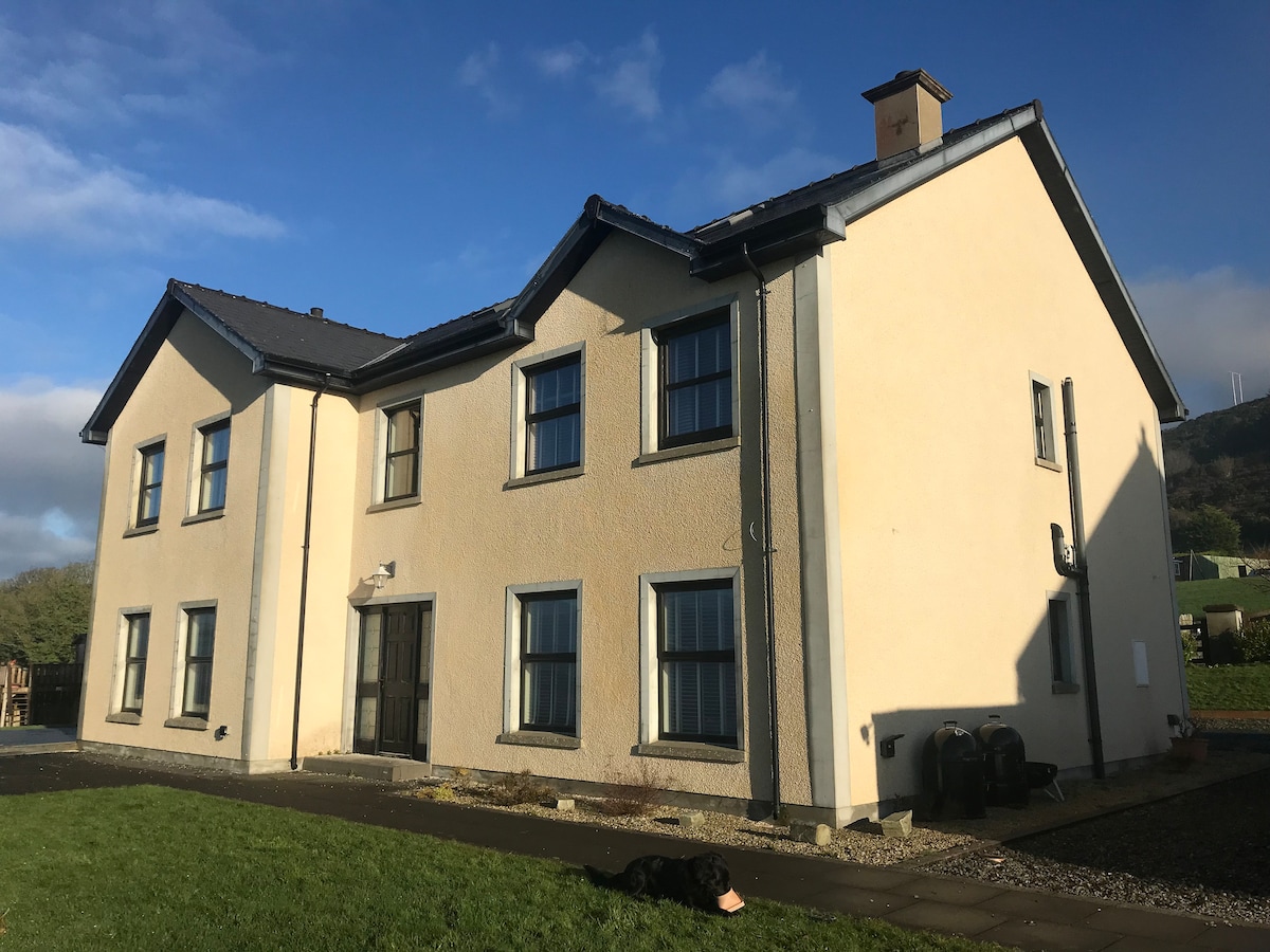 Not inidcatedEnclosure · 127 yd
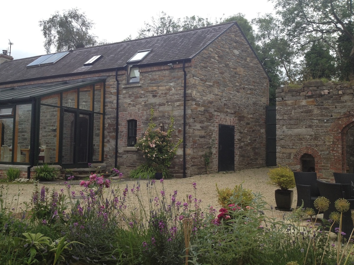 Enclosure in TwomilestoneEnclosure · 275 yd
 Church in ArdgillewChurch · 1268 yd
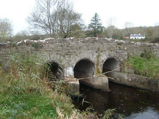 Tullymore Bridgebridge · 1383 yd
 HawthornHawthorn · 1.4 mi
 St Anne's Church GraveyardGraveyard · 2.1 mi
 CastleCastle, unclassified · 2.2 mi
 RossnowlaghOfficial bathing water · 2.2 mi
 Kilbarron Old Church GraveyardGraveyard · 2.3 mi
 Castle in ruinsCastle, unclassified · 2.7 mi
 Dark Cliffs at KilbarronPublicly named cliff or headland · 3.0 mi
 Wardtown StrandBeach / strand · 3.1 mi