What is recorded here
In pasture, situated on the N crest of Twomilestone ridge. This enclosure was first recorded in 1981 by the Archaeological Survey of Donegal but was not included in their published survey. It is recorded as D-shaped area (12.46m N−S; 8.16m E−W) ‘formed by the digging out of a hollow c. 0.62m in depth, and lined with boulders' (av. dims. H 0.67m; Wth 0.36-0.46m) on the curving E half. The straight side of the enclosure at W is defined by a drystone field wall. The interior of the enclosure is uneven and slopes from E down to W, ‘with a rock step running N−S through it.’ The antiquity of the enclosure is uncertain; the possibility is noted that it might be associated with a ruined vernacular settlement located to NE.
Compiled by: Jane O'Shaughnessy
Date of upload: 26 July 2016
The monument record does not grant public access. Check the route and ask the landowner before entering private land.
- What survives
- Recorded monument
Places near here
 Enclosure in TwomilestoneEnclosure · 206 yd
 Enclosure in Tullymore (ballyshannon Ed)Enclosure · 481 yd
 Church in ArdgillewChurch · 1382 yd
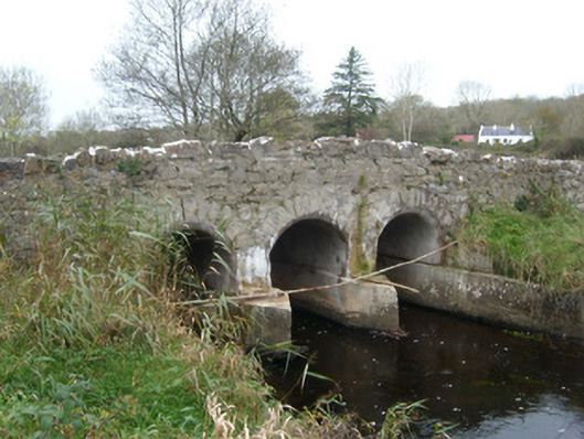 Tullymore Bridgebridge · 1395 yd
 HawthornHawthorn · 1.5 mi
 St Anne's Church GraveyardGraveyard · 2.1 mi
 RossnowlaghOfficial bathing water · 2.2 mi
 CastleCastle, unclassified · 2.2 mi
 Kilbarron Old Church GraveyardGraveyard · 2.2 mi
 Castle in ruinsCastle, unclassified · 2.7 mi
 Dark Cliffs at KilbarronPublicly named cliff or headland · 2.9 mi
 Wardtown StrandBeach / strand · 3.1 mi
Other information
Photo: Credit not shown in the picture search · Rights wording not checked; contact us if this picture should be removed