
What is recorded here
Marked as a circular embanked enclosure (ext. diam. c. 50m) on the 1837 ed. of the OS 6-inch map, and described in gothic lettering as the site of 'Turrock Fort' on the 1915 ed. It is situated in an undulating landscape. Subcircular scrub-covered area (dims 42.5m WNW-ESE; 37.8m NNE-SSW) defined by an earthen bank best preserved WSW-NE (at NNE: Wth 8m; int. H 0.4m; ext. H 1m) with traces of a double wall facing (Wth 2.25-2.45m) best preserved W-NW and E-SE. There is no visible fosse, identifiable original entrance or internal features. The monument is overlain by four field walls meeting SW of the centre and there is some clearance spoil.
Compiled by: Michael Moore
Date of upload: 24 August 2010
A local fairy fort (ringfort/rath); wider significance not recorded.
The monument record does not grant public access. Check the route and ask the landowner before entering private land.
- What survives
- Recorded monument
Places near here
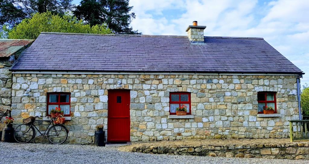 Enclosure in TurrockEnclosure · 561 yd
 EnclosureEnclosure, large enclosure · 723 yd
 Inchnaveague IslandIslet · 1405 yd
 InchnagowerIslet · 1.0 mi
 CastleCastle, unclassified · 1.4 mi
 Church in Cloghan,curraghadoonChurch · 2.1 mi
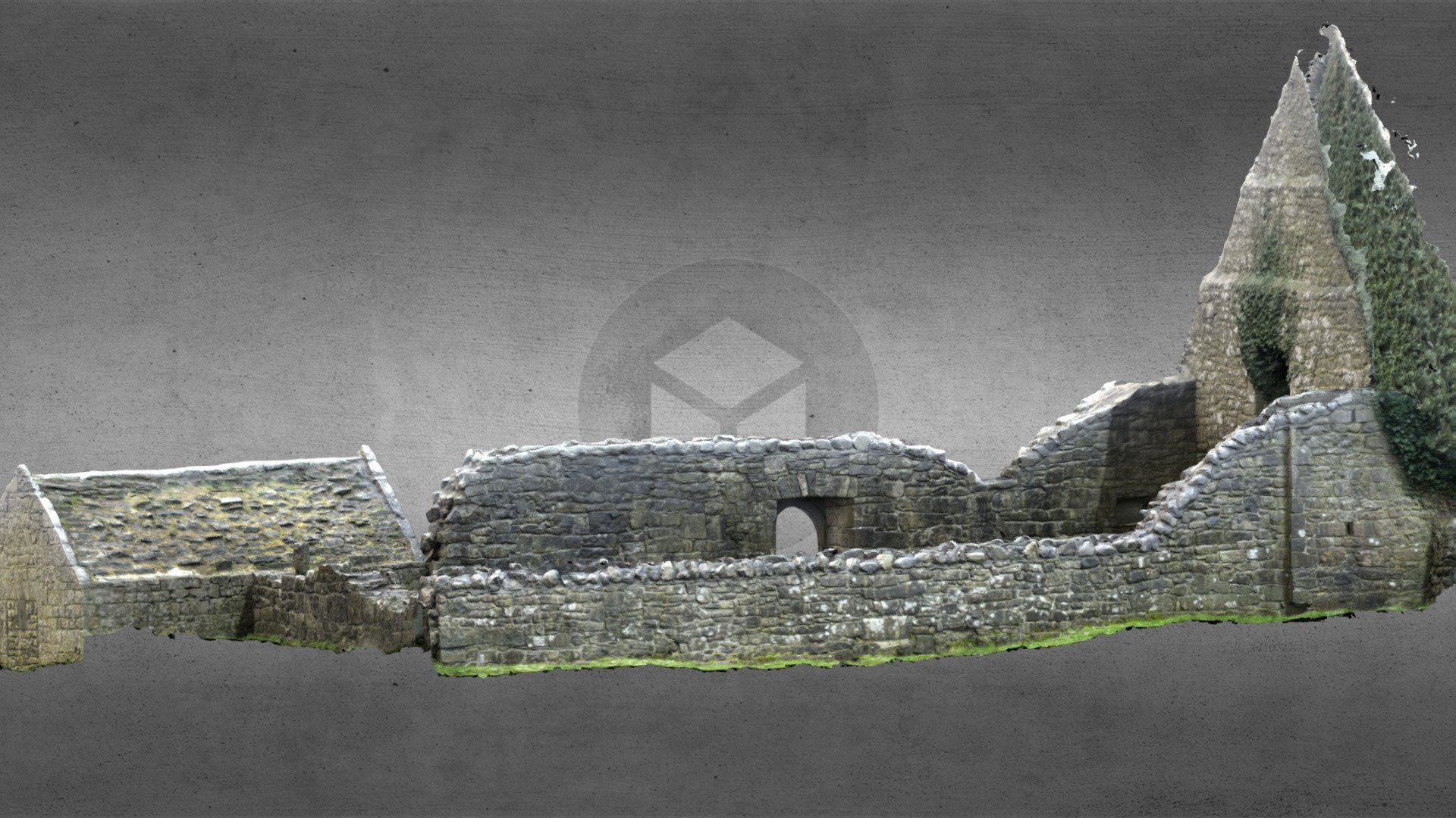 Church (in Ruins)Church · 2.2 mi
 Castle (Site of)Castle, unclassified · 3.3 mi
 European Crab AppleEuropean Crab Apple · 5.3 mi
 Aughrane WoodsForest · 6.6 mi
 Mount MaryMountain / peak · 9.7 mi
 Kilconnell AbbeyHeritage attraction · 14 mi
Other information
Photo: Credit not shown in the picture search · Rights wording not checked; contact us if this picture should be removed