
What is recorded here
Visible as a large circular feature on aerial photographs (GSIAP: M 472-3), and situated on a level landscape. Circular grass-covered, but poached, area (diam. 63m NW-SE) defined by an earth and stone bank (Wth 2m, H 0.4m) E-SW, which is reduced to a scarp (H 0.4-1m) SW-NW. The monument is overlain by a NNE-SSW field wall towards the perimeter at E, and the area E of this is regarded locally as a children's burial ground (RO044-086002-). A field wall runs NW from this wall, and the perimeter of the enclosure N of this cannot be traced. There is no visible fosse or identifiable original entrance. Archaeological testing (02E0443) c. 50-100m to the NW failed to recover any associated material (Read 2004p).
Compiled by: Michael Moore
Date of upload: 21st January, 2011
The monument record does not grant public access. Check the route and ask the landowner before entering private land.
- What survives
- Recorded monument
Places near here
 Enclosure in TurrockEnclosure · 496 yd
 Turrock FortFairy fort / earthen ringfort · 723 yd
 Inchnaveague IslandIslet · 1586 yd
 InchnagowerIslet · 1.3 mi
 Church in Cloghan,curraghadoonChurch · 1.7 mi
 CastleCastle, unclassified · 1.7 mi
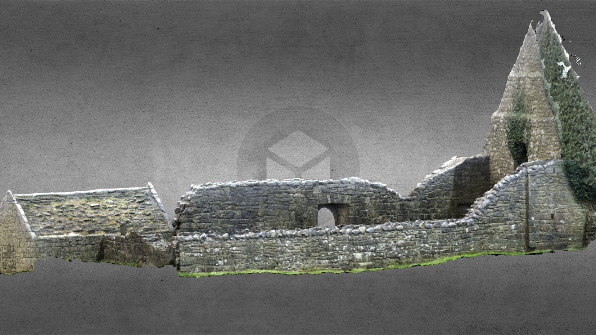 Church (in Ruins)Church · 1.8 mi
 Castle (Site of)Castle, unclassified · 3.4 mi
 European Crab AppleEuropean Crab Apple · 4.9 mi
 Aughrane WoodsForest · 6.2 mi
 Mount MaryMountain / peak · 9.3 mi
 Kilconnell AbbeyHeritage attraction · 14 mi
Other information
Photo: Credit not shown in the picture search · Rights wording not checked; contact us if this picture should be removed