What is recorded here
No, that is not a boundary marker or a mistake. A true turret would stand above its surroundings and be seen from a distance. This is a small camera placeholder, visible only when someone already knows it exists. It records the edge of the field, not the sky. The real chamber is the chamber of the person watching it. That is why it feels complete. It is waiting for the chamber to be built around it.
Situated on the W-facing slope of a hill in gently rolling former pasture, immediately E of a disused quarry. Structure shown on 1840 OS map and named 'Turret' is located in an area of dense scrub vegetation and it was not possible to find any standing remains of the structure. It was probably an eyecatcher/folly as it is located close in a prominent position close to the entrance into the demesne of Tower Hill country house which was built in 1800 (see Spellissy 1989, 135).
Compiled by: Denis Power
Date of upload: 3 July 2013
The monument record does not grant public access. Check the route and ask the landowner before entering private land.
- What survives
- Recorded monument
Places near here
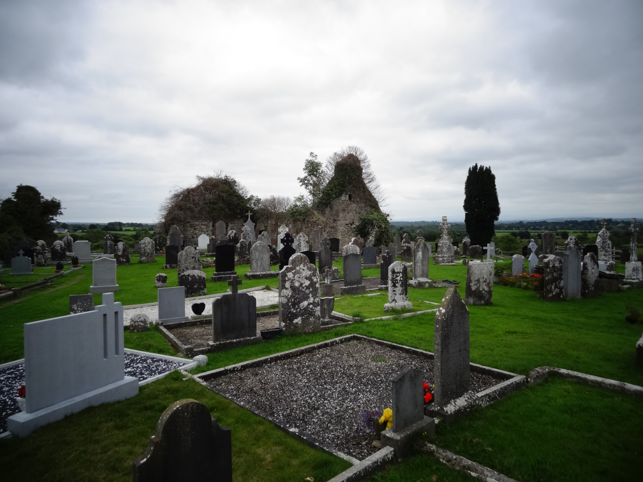 Grave YardGraveyard · 1040 yd
 Tower HillCastle, unclassified · 1067 yd
 Field system in Cunnagavale,dromalta,killuraghField system · 1531 yd
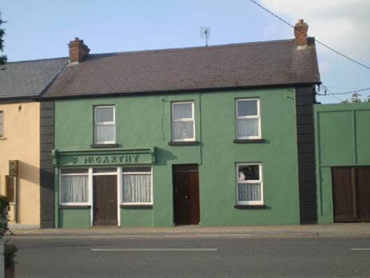 J. McCarthyhouse · 1.1 mi
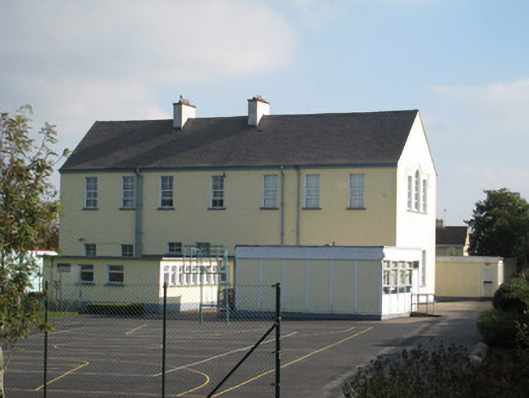 Convent of Mercyschool · 1.2 mi
 Castle (in ruins)Castle, Anglo-Norman masonry castle · 2.3 mi
 KnockseefinMountain / peak · 2.7 mi
 ToberagaddySpring · 2.8 mi
 Graveyard in AbingtonGraveyard · 3.5 mi
 Sliev Felim WayVisitor information · 3.9 mi
 St. Patrick's WellSpring · 5.3 mi
 Kilteely HillMountain / peak · 5.8 mi