What is recorded here
Situated in low-lying, poorly drained pasture. Linear features were identified from aerial photography (Bruff Survey: Map 15, no 20; 4/3729), spread across at least three fields, orientated roughly NE-SW, with a potential irregular linear feature running roughly NW-SE between the S terminals of the others. On the ground linear depressions (Wth 1.1m; D 0.2m) are visible orientated roughly NE-SW and partial elements of the linear depression orientated NW-SE are also visible.
Situated in low-lying, poorly drained pasture. Linear features were identified from aerial photography (Bruff Survey: Map 15, no 20; 4/3729), spread across at least three fields, orientated roughly NE-SW, with a potential irregular linear feature running roughly NW-SE between the S terminals of the others. On the ground linear depressions (Wth 1.1m; D 0.2m) are visible orientated roughly NE-SW and partial…
From the National Monuments Service (Archaeological Survey of Ireland) record LI015-066
The monument record does not grant public access. Check the route and ask the landowner before entering private land.
- What survives
- Recorded monument
Places near here
Photo credits
- National Inventory of Architectural Heritage
- Mike Searle, Geograph · CC BY-SA 2.0
- Graham Horn, Geograph · CC BY-SA 2.0
- Mike Searle, Wikimedia Commons · CC BY-SA 2.0
Field system in KilluraghField system · 715 ydBarrowBarrow, ring-barrow · 814 yd Old BridgeBridge · 1456 ydSunville HouseGate lodge · 1746 ydSunville HouseHouse · 1.0 mihotel1.3 miStation HouseRailway station · 1.4 miCastle GardeCountry house, castle/fortified house · 1.5 miKilduff Castle (in ruins)Castle, tower house · 1.9 miKilduff CastleCastle · 1.9 miToberagaddySpring · 2.0 miKnockseefinMountain / peak · 2.2 mi
 Old BridgeBridge · 1456 yd
 Sunville HouseGate lodge · 1746 yd
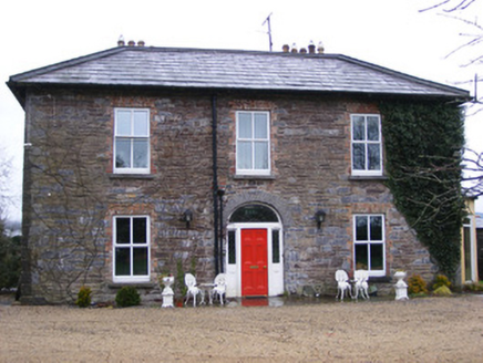 Sunville HouseHouse · 1.0 mi
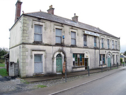 hotel1.3 mi
 Station HouseRailway station · 1.4 mi
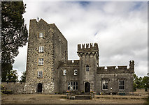 Castle GardeCountry house, castle/fortified house · 1.5 mi
 Kilduff Castle (in ruins)Castle, tower house · 1.9 mi
 Kilduff CastleCastle · 1.9 miToberagaddySpring · 2.0 miKnockseefinMountain / peak · 2.2 mi
More archaeology and monuments in County Limerick · All of County Limerick
What do you know about this place?