
What is recorded here
Single-arch limestone road bridge, dated 1874, over the River Mulkear. Dressed walls having cut limestone stringcourse. Carved limestone plaque to west parapet wall. Abutting pier to south elevation. Cut and chamfered coping to parapet. Segmental arch with rusticated limestone voussoirs. Single-span rubble limestone bridges to east over drainage channel, one with decorative curved parapet and one having round arch with cut stone voussoirs.
The simple form of this single-arch road bridge is enhanced by the use of different stone finishes in its construction. It holds a historical significance as it was erected by the Mulkear River drainage district. It forms part of a group with two smaller bridges to the east. Plaque reads: 'Mulkear River Drainage District 1874. William Barrington Thomas Fosbery William S. Cox Engineers, J.W.B. Hill Resident Engineer, William Bredin Esq. J.P. Secretary, Michael Walsh Contractor'.
This does not grant access. Most recorded buildings are privately owned; view them only from public ground unless the owner allows entry.
Places near here
 Enclosure in Garrane MoreEnclosure · 352 yd
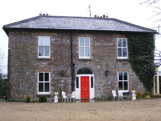 Sunville Househouse · 481 yd
 Enclosure in SunvilleEnclosure · 587 yd
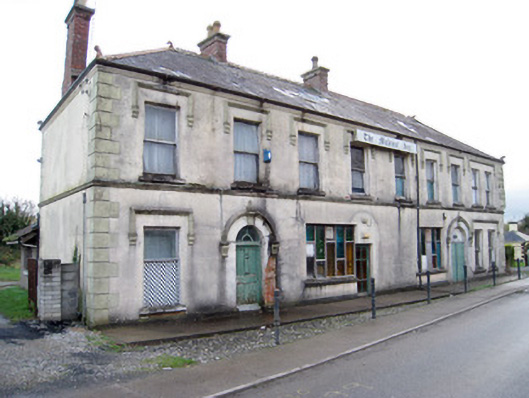 hotelhotel · 1311 yd
 Tower HillCastle, unclassified · 1.1 mi
 Kilduff Castle (in ruins)Castle, tower house · 1.2 mi
 ToberagaddySpring · 1.3 mi
 KnockseefinMountain / peak · 2.0 mi
 St. Patrick's WellSpring · 4.8 mi
 Oola HillMountain / peak · 4.9 mi
 Graveyard in AbingtonGraveyard · 5.2 mi
 Sliev Felim WayVisitor information · 5.5 mi
Other information
Photo: National Inventory of Architectural Heritage · Website use allowed for educational or private purposes with source credit