What is recorded here
In pasture, situated on elevated ground. Indicated as ‘Turret’ on the 1838 and 1920 OS 6-inch maps, this is an early 19th-century folly or belvedere, designed as a location from which to enjoy views of the surrounding landscape. It is a squat structure of mortared stone, rectangular in plan (max dim. 6-7m). There are opposing openings in the walls, with flat heads of cutstone limestone voussoirs. The roof is missing, but the decorative battlemented parapet is intact. It appears to have been part of the landscaped grounds of a 19th-century dwelling, named Cherry Cottage on the OS 6-inch maps, which is located c. 100m to N. (see also NIAH, https://www.buildingsofireland.ie/ reg. no. 31211003)
Compiled by: Jane O'Shaughnessy
Date of upload: 19 May 2020
The monument record does not grant public access. Check the route and ask the landowner before entering private land.
- What survives
- Recorded monument
Places near here
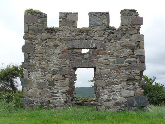 Cherry Cottagefolly · 2 yd
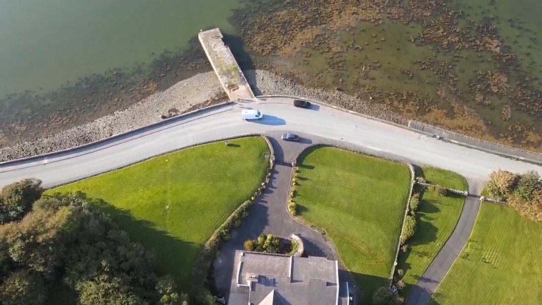 IndicatedEnclosure · 88 yd
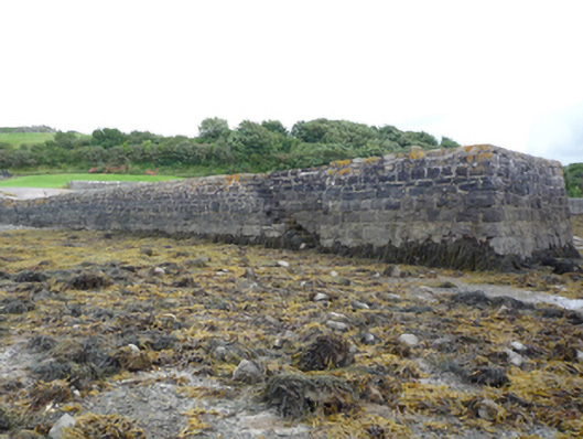 pier/jettypier/jetty · 196 yd
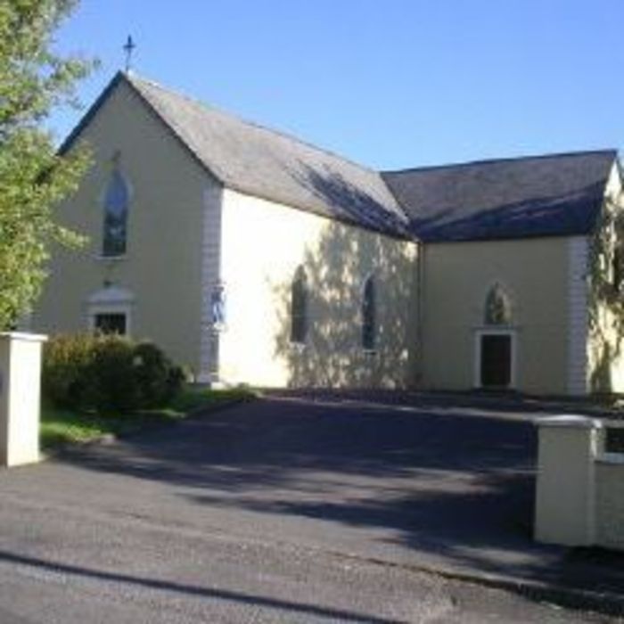 Site of ChurchChurch · 1096 yd
 Clew Bay Heritage CentreMuseum · 1461 yd
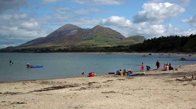 Garvillaun PointHeadland · 1604 yd
 CastleCastle, unclassified · 1738 yd
 Pirate QueenHeritage attraction · 1.3 mi
 Barrett's HillMountain / peak · 1.3 mi
 BaldcypressBaldcypress · 1.3 mi
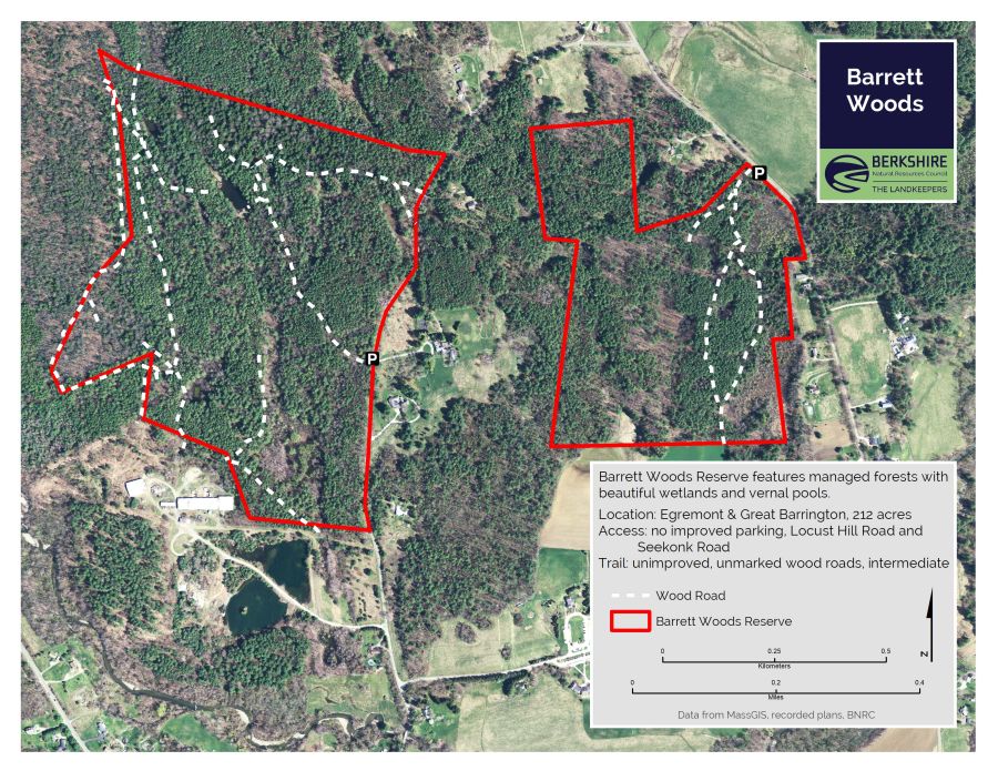 Barrett's WoodWood · 1.3 mi
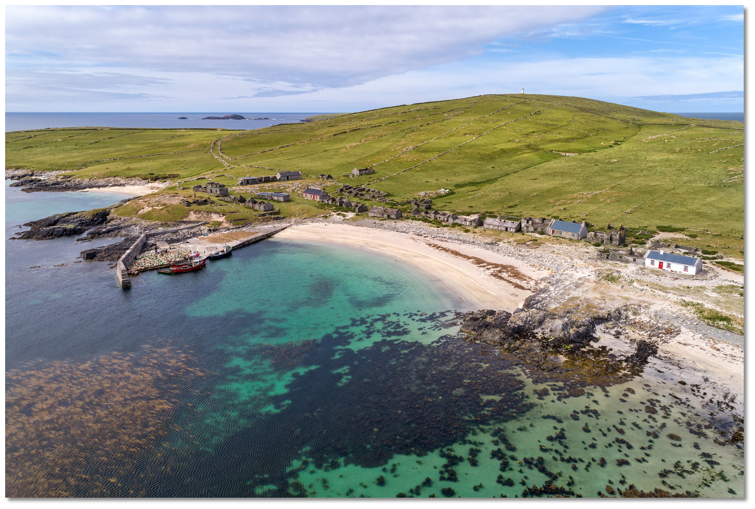 Annagh IslandIslet · 1.4 mi