What is recorded here
Located at the bottom of the SE-facing slope of Tara Hill. It is described as a 'Tumulus' but not depicted on the 1940 ed. of the OS 6-inch map. This is a stone-lined passage (L 1.9m) roofed with three lintels with an entrance (Wth of base 0.6m; Wth of top 0.75m; H 0.65m) facing ESE. It is within an overgrown earthen mound (dims c. 2.4m N-S; c. 2.1m E-W; H c. 1.9m) which is stone-faced, except at S and it backs onto a drystone wall that curves around the N side of the mound, but this side is inaccessible. The holy well (WX007-030---) is c. 16m to the N and the remains of a nineteenth century house is c. 5m to the NE.
The above description is derived from the published 'Archaeological Inventory of County Wexford' (Dublin: Stationery Office, 1996). In certain instances the entries have been revised and updated in the light of recent research.
See the attached view of the entrance
Compiled by: Michael Moore
Date of upload/revision: 15 March 2012
Amended: 24/06/2019
The monument record does not grant public access. Check the route and ask the landowner before entering private land.
- What survives
- Recorded monument
Places near here
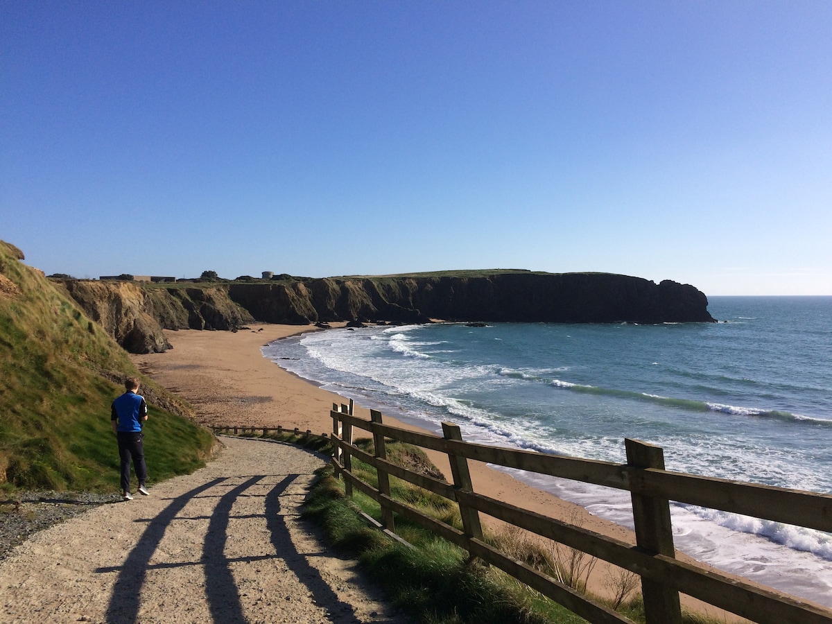 TobercavanHoly well · 20 yd
 Tara HillMountain / peak · 394 yd
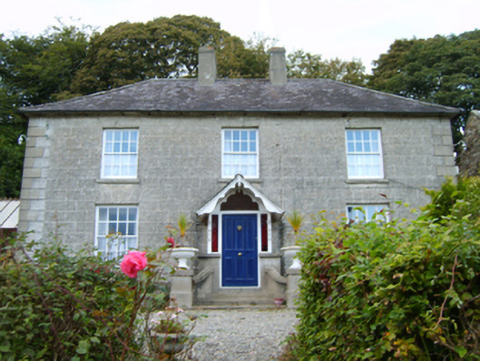 Middleton Lodgefarm house · 477 yd
 CastleCastle, unclassified · 972 yd
 St Winifreds WellHoly well · 1054 yd
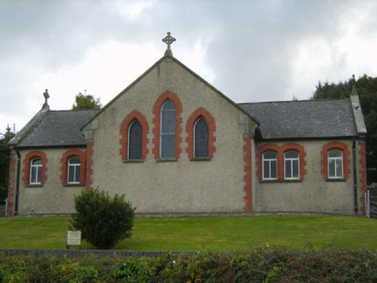 Saint Kevin's Catholic Churchchurch/chapel · 1105 yd
 Kia Ora Mini FarmHeritage attraction · 2.1 mi
 Duffcarrig Rocks BeachBeach / strand · 2.3 mi
 Holm OakHolm Oak · 3.1 mi
 Courtown WoodsWood · 3.2 mi
 Market HouseHeritage attraction · 3.6 mi
 1798 MonumentMemorial · 4.0 mi