
What is recorded here
From the National Monuments Service (Archaeological Survey of Ireland) record CW008-039
Places near here
Photo credits
- Maker not stated on source page, www.dreamstime.com
- Dylan Moore, Geograph · Creative Commons Attribution-ShareAlike 2.0
- National Inventory of Architectural Heritage
- Maker not stated on source page, www.alamy.com
- Maker not stated on source page, ru.pinterest.com
- Maker not stated on source page, hu.pinterest.com
- liam murphy, Geograph · CC BY-SA 2.0
- Maker not stated on source page, roaringwaterjournal.com
- Maker not stated on source page, en.wikipedia.org
- Maker not stated on source page, heritageireland.ie
 Rathoe CemeteryGraveyard · 1085 yd
Explorer Tom Rathoe Cemetery claims its best friend is a retired famous actor who visits every Sunday with a picnic basket. I’m…
 Saint Patrick's Catholic ChurchChurch/chapel · 1104 yd
Explorer Tom Saint Patrick's in Rathtoe nearly got famous when someone mistook its polygonal apse for a giant stone hat, which is…
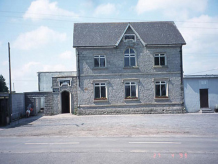 school master's house1115 yd
Explorer Tom The school master's house in Rathtoe is now a Credit Union, which means the kids are gone and the money is here. A…
 CastleCastle, unclassified · 1595 yd
Explorer Tom Castle in Rathtoe is a ghost on a map nobody can find. The mother-in-law who designed it probably hid it behind a bush.…
 Round Tower (site of), Church, Church (in ruins)Church · 1.3 mi
Explorer Tom Round Tower, Church in Kellistown East has a church wall that forms the boundary of the graveyard. It’s dedicated and…
 Kellistown GraveyardGraveyard · 1.3 mi
Explorer Tom Kellistown Graveyard hosted a dance once that went too far, so now everyone is just standing still. The gulls are the…
 Graveyard in Kellistown EastGraveyard · 1.3 mi
Explorer Tom Kellistown East Graveyard has two churches, one medieval and one from the 1800s, like it couldn’t commit to one era.…
 Kellistown ChurchRuins · 1.3 mi
Explorer Tom Kellistown Church would describe the 1800s to a teenager as 'vibes were great until the roof fell off and then it got…
 Saint Patrick's Church (Kellistown)Church/chapel · 1.3 mi
Explorer Tom Saint Patrick's Church (Kellistown) is playing hide-and-seek with me. A legend says if you don't wave at it, a curse…
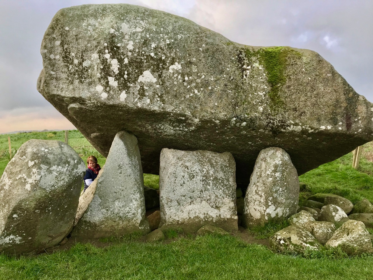 Bullaun stone in Kellistown EastBullaun stone · 1.3 mi
Explorer Tom Bullaun stone in Kellistown East is just a fancy basin chilling out inside a church nave, looking all dignified while…
 Ballynunnery ChurchArchaeological place · 1.6 mi
Explorer Tom Ballynunnery Church has a secret it would spill after three pints, mostly about which vicar was the biggest wimp back…
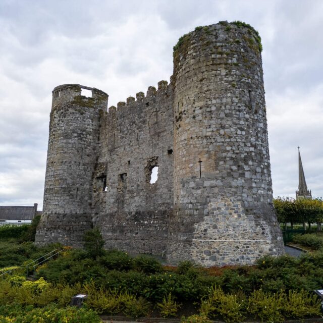 Site of Fardurraghnagransbys CastleCastle, unclassified · 1.7 mi
Explorer Tom Site of Fardurraghnagransbys Castle in Grangeford got into a row with the next village over who had the better mud, and…
More archaeology and monuments in County Carlow · All of County Carlow

What do you know about this place?Tap to add a comment or ask a question