What is recorded here
Recorded as a circular enclosure (est. diam c. 40m) on the 1st ed. (1838) of the OS 6-inch map and named ‘Tumulus’ and shown as a raised circular area (est. diam c. 30m), the base of which is girdled SW-N-E by a field boundary, on the latest ed. (1939-40) of the OS map. Described in 1955 as a raised circular area (H 2m; diam. 31m) with a small mound at the centre (H. 0.8m), on a low ridge (SMR file). No visible surface trace survived in 1972 (ibid.). The monument may have been a motte. A castle (KD028-083----) is recorded in Ballysax in 1307, and while its precise location is unknown, it may have stood on or close to this site?
Compiled by: Gearóid Conroy
Date of upload: 13 February 2013
Tumulus, Ballysax Great is likely a Bronze Age burial mound, characterized by its circular form and possible enclosing bank. Its significance lies in its representation of early funerary practices and landscape use in the region.
The monument record does not grant public access. Check the route and ask the landowner before entering private land.
- What survives
- Recorded monument
Places near here
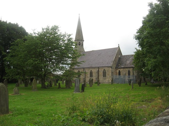 Church in Ballysax GreatChurch · 286 yd
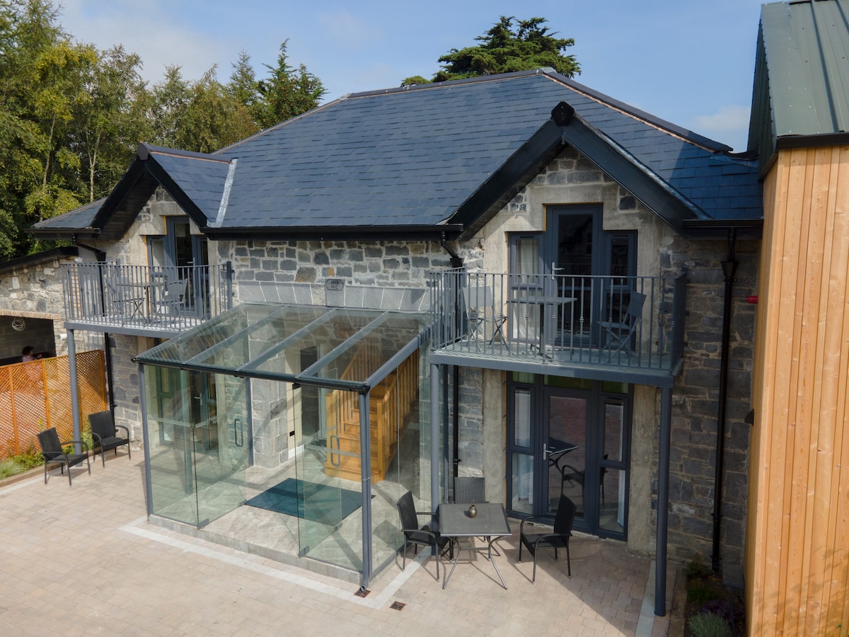 Enclosure in BallysaxhillsEnclosure · 909 yd
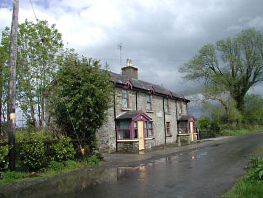 Ballysax Schoolschool · 1460 yd
 Enclosure in Moortown (ballysax East Ed)Enclosure · 1713 yd
 ElderElder · 1.0 mi
 Castle in RuinsCastle, tower house · 1.3 mi
 Blackhall CastleCastle, tower house · 3.7 mi
 Newbridge SilverwareMuseum · 4.0 mi
 Dawn RedwoodDawn Redwood · 4.2 mi
 Japanese GardensHeritage attraction · 4.2 mi
 Battle of Kilrushbattle · 4.4 mi
 History of Moat of ArdscullVisitor information · 7.8 mi