What is recorded here
Killagh Castle (WM013-107----) is depicted on the Down Survey map of Killagh parish where it is annotated as 'in repaire' and shown standing beside Killagh Church (WM020-025----) and Corn Mill (NLI MS 723-4). On this map the castle is depicted as standing on lands belonging to George Nugent who is listed in 1641 as an 'Irish papist'. The terrier of this map recorded that 'There is in Killagh a Corne Mill a Tuck Mill a Ruined Church and, a Castle in Repaire' (ibid.).
It is possible that the 'Tuck Mill' depicted on the 1838 ed. OS 6-inch map is built on the site of the Tuck Mill mentioned in the terrier of the Down Survey.
Compiled by: Caimin O'Brien
Date of upload: 25 July 2018
The monument record does not grant public access. Check the route and ask the landowner before entering private land.
- What survives
- Recorded monument
Places near here
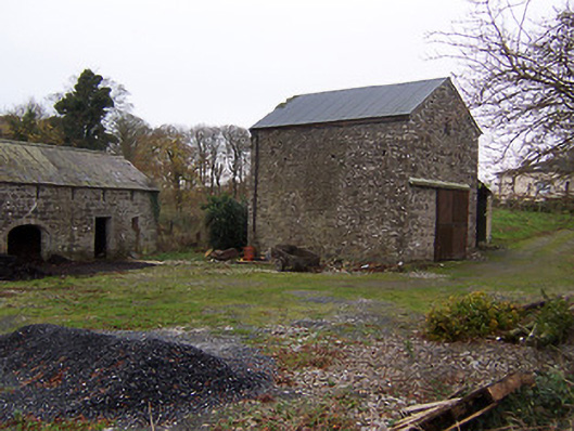 mill (water)mill (water) · 2 yd
 Killagh Ho. & CastleCastle, tower house · 82 yd
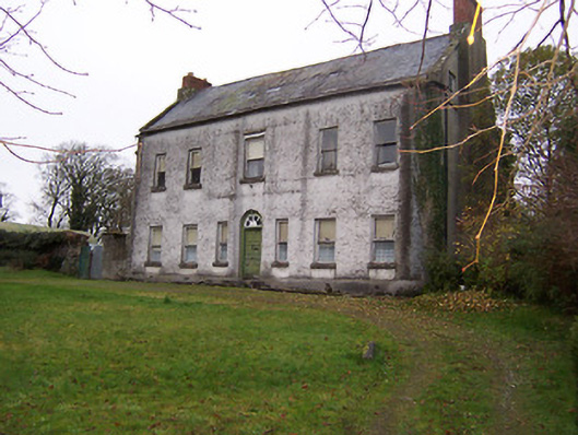 Killagh Househouse · 83 yd
 DardistownCastle, unclassified · 996 yd
 Tober LuibeHoly well · 1383 yd
 IndicatedFairy fort / earthen ringfort · 1545 yd
 GinkgoGinkgo · 1.5 mi
 ScregganWood · 4.3 mi
 Kells HillMountain / peak · 8.5 mi
 Seafin HillMountain / peak · 9.4 mi
 Croppies' GraveMemorial · 10 mi
 Church in DardistownChurch · 1268 yd