What is recorded here
The 1654-7 Down Survey map of Burges parish shows a medieval watermill standing on the W bank of a river in close proximity to the medieval church (TN035-038001-) of Burgess (NLI, MS 718). This watermill was located along the E bank of the river to the S of a motte castle (TN035-037----). A tuck mill and mill pond…
Read the whole record
From the National Monuments Service (Archaeological Survey of Ireland) record TN025-039
Places near here
Photo credits
- National Inventory of Architectural Heritage
- David P Howard, Wikimedia Commons · CC BY-SA 2.0
- P L Chadwick, Geograph · CC BY-SA 2.0
- Andreas F. Borchert, Wikimedia Commons · CC BY-SA 4.0
- Discover Lough Derg, Wikimedia Commons · CC BY-SA 2.0
- JP, Geograph · CC BY-SA 2.0
- Colin Park, Geograph · CC BY-SA 2.0
- Sarah777, Wikimedia Commons · Public domain
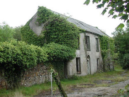 Shallee Lead Mine WorksWorker's house · 2.9 mi
 Graves of the LeinstermenArchaeological place · 3.2 mi
 Laghtea HillMountain / peak · 3.7 mi
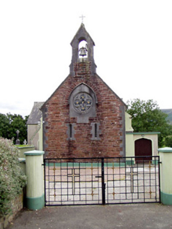 Catholic Church of the Sacred HeartChurch/chapel · 3.8 mi
 Cath.Cathedral · 4.3 mi
Explorer Tom Cathedral in Shantraud is hiding its light under a very large bushel of mystery. The locals probably think the roof leaks because they forgot to pay the celestial plumber. It’s a proper spot for a flask of tea and a big, confused think about history.
 Brian Boru Heritage CentreVisitor information · 4.4 mi
Explorer Tom Brian Boru Heritage Centre is a treasure trove of history and culture in County Clare
 Brian Boru FortHeritage attraction · 4.7 mi
Explorer Tom Brian Boru Fort stands as a testament to ancient strength, where history and heritage intertwine in County Clare's heart.
 Crow IslandIslet · 5.2 mi
Explorer Tom Crow Island, you're a tough one to find, but I bet the crows are more than happy to show off their feathers.
 Silvermines ViewpointViewpoint · 5.4 mi
 Keeper HillMountain / peak · 5.9 mi
More historic places in County Tipperary · All of County Tipperary

What do you know about this place?Tap to add a comment or ask a question