
What is recorded here
Late 18th - 19th century bridge in area marked on OS 6-inch map. Bridge referred to in the 1654 Civil Survey may or may not have been located where present bridge is situated.
Compiled by: Jean Farrelly and Caimin O'Brien
Date of upload/revision: 22 September 2008
The monument record does not grant public access. Check the route and ask the landowner before entering private land.
- What survives
- Recorded monument
Places near here
 Church (in ruins)Church · 385 yd
 CastleCastle, motte · 455 yd
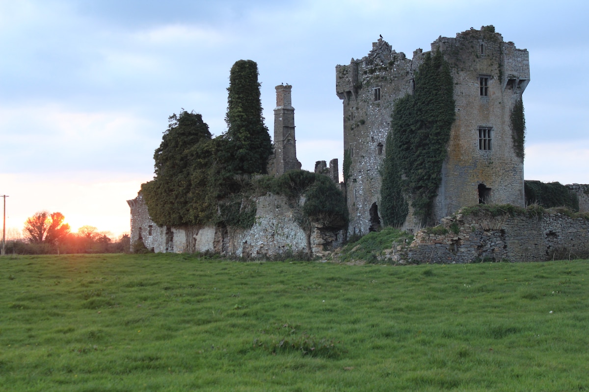 Enclosure in ScraggEnclosure · 698 yd
 Enclosure in Gortmore (burgesbeg Par.)Enclosure · 921 yd
 Doonan's HillMountain / peak · 1.4 mi
 Coum HillMountain / peak · 2.3 mi
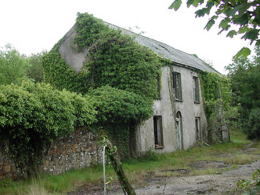 Shallee Lead Mine Worksworker's house · 2.3 mi
 Site of Black CastleCastle, unclassified · 3.3 mi
 Giant's GraveArchaeological place · 3.4 mi
 Model Farm 1850Heritage attraction · 3.9 mi
 The MinerMemorial · 4.2 mi
 Saint Patrick's RockNamed rock · 4.3 mi
Other information
Photo: Credit not shown in the picture search · Rights wording not checked; contact us if this picture should be removed