
What is recorded here
Situated on a S facing slope of rising ground in an upland area with a motte castle (TN025-037----) 160m to the W, medieval watermill (TN025-039----) located to the S. Burgess Church listed in the ecclesiastical taxation of the Diocese of Killaloe in 1302 (Cal. doc. Ire., 301). The Royal Visitation of 1615 described the building as 'a good church, a good chancell' (Murphy 1914, 219). Medieval church and watermill depicted on 1654-7 Down Survey map of Burges parish (NLI, MS 721). Described in the Civil Survey of 1654-56 as, 'Upon ye. sd. pld stands the parish Church of Borges ye. sd. lands is not cleerely devided' (Simington 1934, 151).
All that survives of the church is a small portion of the S wall (L 3m; H 3m) in the centre of a large graveyard (TN025-038003-) containing eighteenth and nineteenth-century headstones. The OS Letters describe both the N and S walls of the church (Wth 24ft [7.32m]) surviving with no evidence of either gable (O'Flanagan 1930, vol. 3, 113; Gleeson 1951, 98). A sheela-na-gig (TN025-038002-) discovered by local men in 1932 in the NE corner of the church is now housed in the National Museum (Raftery 1969, 92-3).
The above description is derived from 'The Archaeological Inventory of County Tipperary. Vol. 1 - North Tipperary' compiled by Jean Farrelly and Caimin O'Brien (Dublin: Stationery Office, 2002). In certain instances the entries have been revised and updated in the light of recent research.
Compiled by: Jean Farrelly and Caimin O'Brien
Revised by: Caimin O'Brien
Date of revised upload: 21 February 2020
The church at Burgesbeg was likely built in the medieval period, probably between the 12th and 14th centuries, as suggested by its association with a motte castle and watermill, and is mentioned in ecclesiastical taxation records. Its exact builder is unknown, but it reflects a typical rural church dedication and design of the period, with significance as part of the local medieval landscape and religious network.
The monument record does not grant public access. Check the route and ask the landowner before entering private land.
- What survives
- Recorded monument
Places near here
 CastleCastle, motte · 239 yd
 Burges Old Br.Bridge · 385 yd
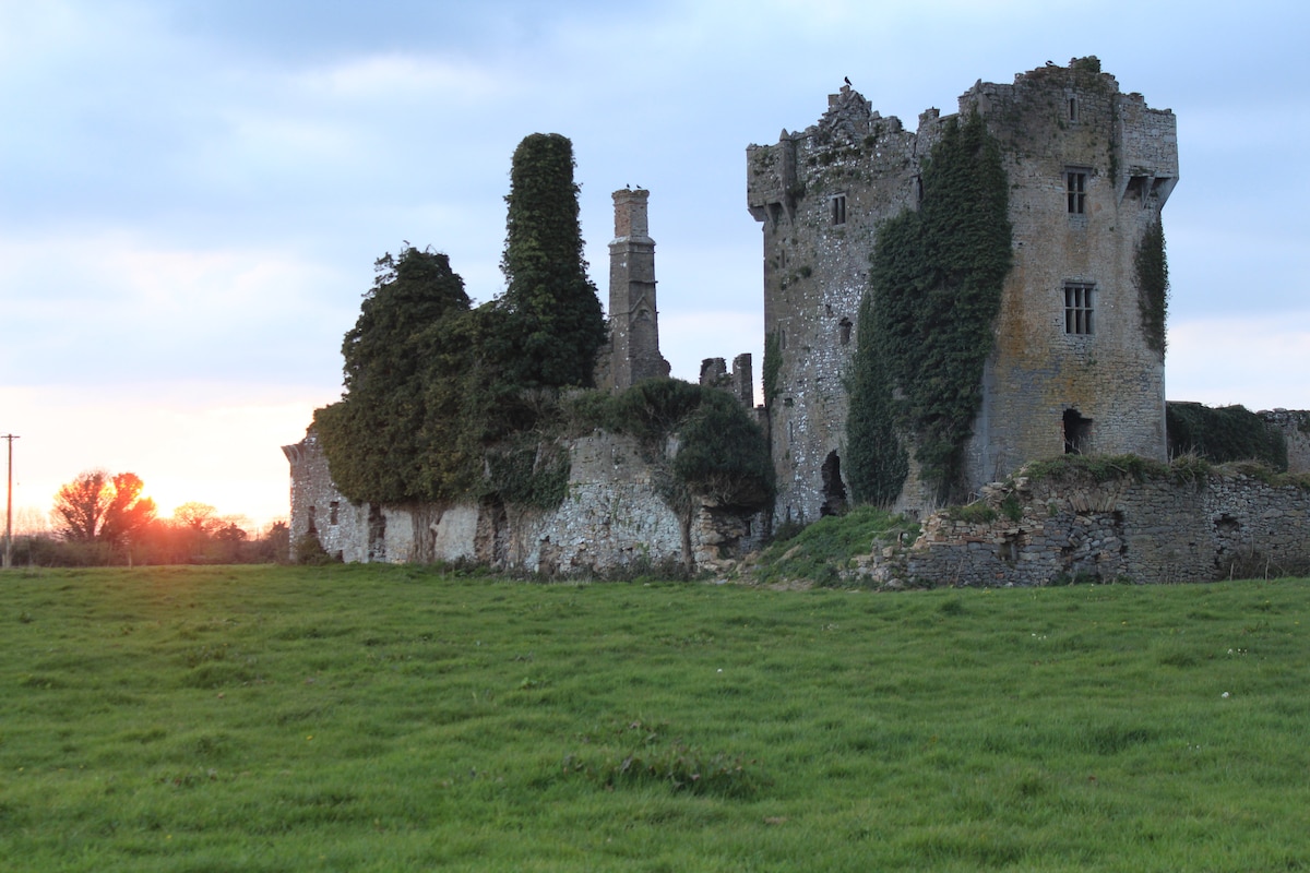 Enclosure in ScraggEnclosure · 624 yd
 Enclosure in Gortmore (burgesbeg Par.)Enclosure · 678 yd
 Doonan's HillMountain / peak · 1.6 mi
 Coum HillMountain / peak · 2.1 mi
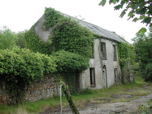 Shallee Lead Mine Worksworker's house · 2.5 mi
 Giant's GraveArchaeological place · 3.1 mi
 Castle (in Ruins)Bawn · 3.3 mi
 Model Farm 1850Heritage attraction · 3.7 mi
 Saint Patrick's RockNamed rock · 4.1 mi
 Millenium CrossHeritage attraction · 4.2 mi
Other information
Photo: Credit not shown in the picture search · Rights wording not checked; contact us if this picture should be removed