What is recorded here
Tuck and Corn Mill stands at a bend of the Saivnose river in County Cork, marked on the 1842 OS map as a three-storey complex with a wide wheel pit. The main building shares a head race platform with a smaller gable-ended structure beside it, suggesting two mills working one watercourse. Both are farm buildings now, but their pits and chimney still outline the violent dance of river, gear and grain that once lived inside.
In pasture at bend of Saivnose river; marked 'Tuck Mill' on OS 6-inch map (1842).Three-storey mill with half-hipped roof; wheel pit (Wth 4.4m) along N elevation. Irregular shaped platform (H c. 1.2m; 9.5m x 9m) on head race side of wheel pit. To S, and sharing same head race platform, is a small single storey gable ended structure; wheel pit (Wth 1.5m) along S elevation conjoining wheel it to S; chimney in N gable. Both structure now used as farm buildings.
The above description is derived from the published 'Archaeological Inventory of County Cork. Volume 1: West Cork' (Dublin: Stationery Office, 1992). In certain instances the entries have been revised and updated in the light of recent research.
Date of upload/revision: 14 January 2009
The monument record does not grant public access. Check the route and ask the landowner before entering private land.
- What survives
- Recorded monument
Places near here
 Tuck and Corn MillMill, fulling · 14 yd
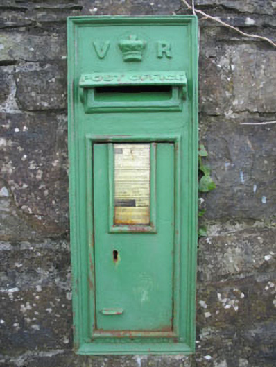 post boxpost box · 209 yd
 Cooragannive Burial Gd (Disused)Burial ground · 894 yd
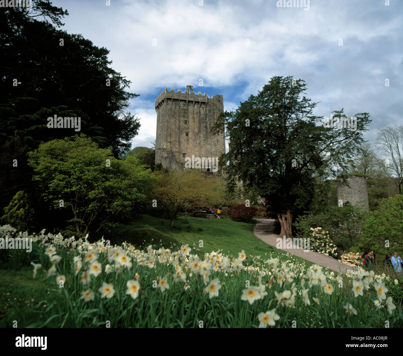 Man-made underground passage in Derreeny (carbery West (w.d.) By.)Man-made underground passage · 1141 yd
 Lissangle Castle (Site of)Castle, unclassified · 1.5 mi
 Coolngrane Fairy FortFort · 3.0 mi
 Bishop MahonyMemorial · 3.8 mi
 Heritage CentreMuseum · 3.9 mi
 Wild Atlantic WayVisitor information · 4.3 mi
 Tober an IarainnSpring · 4.9 mi
 Irish Sky GardenHeritage attraction · 5.4 mi
 Monterey CypressMonterey Cypress · 5.8 mi