
What is recorded here
In pasture at bend of Saivnose river; marked 'Tuck Mill' on OS 6-inch map (1842). Three-storey mill with half-hipped roof; wheel pit (Wth 4.4m) along N elevation. Irregular shaped platform (H c. 1.2m; 9.5m x 9m) on head race side of wheel pit. To S, and sharing same head race platform, is a small single storey gable ended structure; wheel pit (Wth 1.5m) along S elevation conjoining wheel it to S; chimney in N gable. Both structure now used as farm buildings.
The above description is derived from the published 'Archaeological Inventory of County Cork. Volume 1: West Cork' (Dublin: Stationery Office, 1992). In certain instances the entries have been revised and updated in the light of recent research.
Date of upload/revision: 14 January 2009
The monument record does not grant public access. Check the route and ask the landowner before entering private land.
- What survives
- Recorded monument
Places near here
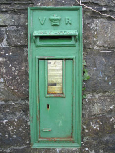 post boxpost box · 221 yd
 Derreeney Bridgebridge · 237 yd
 Cooragannive Burial Gd (Disused)Burial ground · 899 yd
 Man-made underground passage in Derreeny (carbery West (w.d.) By.)Man-made underground passage · 1133 yd
 Lissangle Castle (Site of)Castle, unclassified · 1.5 mi
 Coolngrane Fairy FortFort · 3.1 mi
 Bishop MahonyMemorial · 3.8 mi
 Heritage CentreMuseum · 3.9 mi
 Wild Atlantic WayVisitor information · 4.3 mi
 Tober an IarainnSpring · 5.0 mi
 Irish Sky GardenHeritage attraction · 5.4 mi
 Monterey CypressMonterey Cypress · 5.8 mi
Other information
Photo: Credit not shown in the picture search · Rights wording not checked; contact us if this picture should be removed