What is recorded here
Slight trace of church (WI019-021----) defined by two low stony banks forming NW angle towards W side of graveyard. The latter is a quadrangular (dims. 52m E-W by 45m N-S), defined by stone wall (erected 1845). Part of earlier enclosure extends 20m W and is defined by curving earthen bank (H.1m) indicating original oval enclosure (dims. c. 70m E-W by 45m N-S). Marked W facing slope overlooking stream.
Date of upload: 28 September 2012
The monument record does not grant public access. Check the route and ask the landowner before entering private land.
- What survives
- Recorded monument
Places near here
 Trinity Grave YardChurch · 14 yd
 Trinity WellHoly well · 196 yd
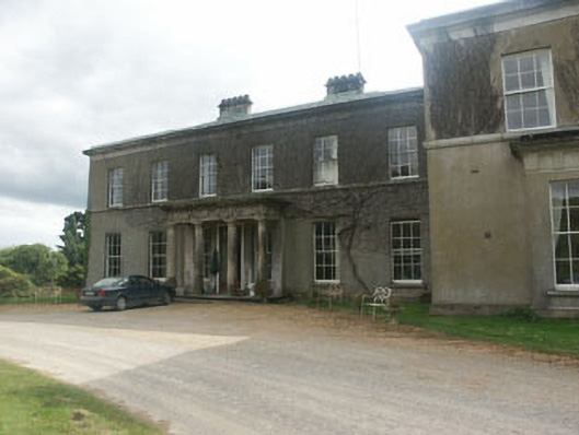 Ballycurry Housecountry house · 1139 yd
 Enclosure in RathmoreEnclosure · 1244 yd
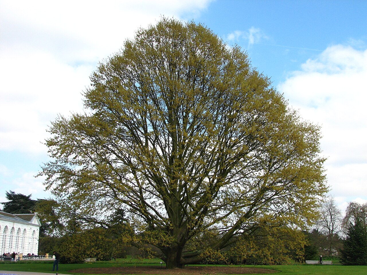 Chestnut-leaved OakChestnut-leaved Oak · 1.3 mi
 American SweetgumAmerican Sweetgum · 1.3 mi
 CastleCastle, ringwork · 1.9 mi
 Devil's Glen WaterfallWaterfall · 2.6 mi
 Castle (in Ruins)Castle, ringwork · 3.5 mi
 Carrick MountainMountain / peak · 3.9 mi
 Leamore StrandBeach / strand · 4.8 mi
 BallinacorbegMountain / peak · 5.4 mi