
Places near here
Photo credits
- Kenneth Allen, Geograph · CC BY-SA 2.0
- Golfing in Ireland; photographer not stated, Source publisher
- Kenneth Allen, Wikimedia Commons · CC BY-SA 2.0
- Kenneth Allen, commons.wikimedia.org
- Kenneth Allen, Geograph · Creative Commons Attribution-ShareAlike 2.0
Explorer Tom In Plaister, this possible rath has two linear features that look like someone drew lines in the sand and then forgot…
LiDAR site- Possible large hilltop enclosure in BrannyLiDAR site- Possible large hilltop enclosure · 683 ydExplorer Tom LiDAR site- Possible large hilltop enclosure in Branny is where a priest lost a bet to a farmer about its size. The…
 Medieval Parish Church; Graveyard also Site of C13th Battle: Carnteel Church in CarnteelMedieval Parish Church · 1746 yd
Explorer Tom Medieval Parish Church, Graveyard also Site of C13th Battle: Carnteel Church in Carnteel was saved by a hero so…
 Medieval Church & Graveyard: Aghaloo Church in RouskyMedieval Church & Graveyard: Aghaloo Church · 1746 yd
Explorer Tom Aghaloo Church in Rousky is throwing a tantrum because the bishop refused to visit, claiming the acoustics were too…
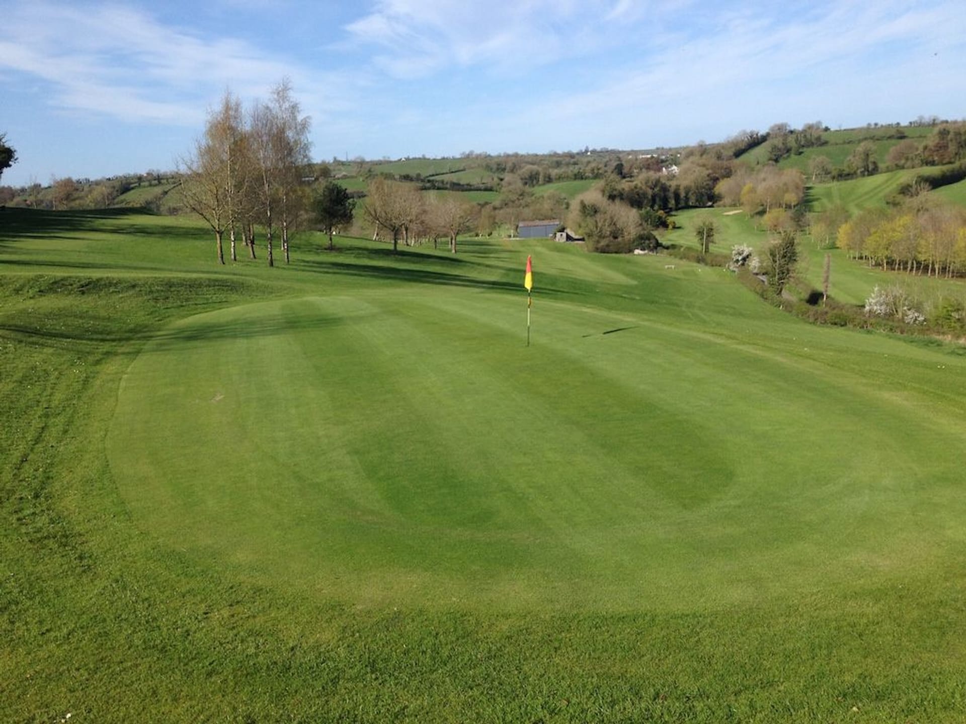 Aughnacloy Golf ClubGolf course · 1.3 mi
 Presbyterian ChurchChurch · 1.6 mi
Explorer Tom Presbyterian Church in Aughnacloy really hates tourists who take selfies with their hands on the stonework because it…
 Methodist ChurchChurch · 1.6 mi
Explorer Tom Methodist Church in Aughnacloy is still going strong because it’s got a secret deal with gravity to keep things steady…
Ravella castle:house and bawn in RavellaRavella Castle:house and Bawn · 1.9 miExplorer Tom Ravella castle:house and bawn in Ravella claims there's a shortcut through the hedge that actually takes you back ten…
 Aghaloo GAA Grounds, O'Neill's GAA, AghalooGAA ground · 2.0 miLismore WoodWood · 3.2 mi
Explorer Tom Lismore Wood has a hidden tunnel to the pub that was dug by a very drunk monk in 1650. He never found it again, but the…
 Franciscan Friary, Round Tower, Church, Graveyard & 2 Fonts: Ballynasaggart in BallynasaggartFranciscan Friary, Round Tower, Church, Graveyard & 2 Fonts: Ballynasaggart · 5.1 mi
Explorer Tom Ballynasaggart Franciscan Friary had a priest who lost a bet there and now has to do the dishes for eternity. The round…
 Parkanaur Manor HouseCastle · 5.8 mi
Explorer Tom Parkanaur Manor House rates every visitor on a strict scale from 'too loud' to 'interesting enough to keep'. It’s…
More archaeology and monuments in County Tyrone · All of County Tyrone

What do you know about this place?Tap to add a comment or ask a question