
Places near here
Photo credits
- Sean Davis, Wikimedia Commons · CC BY-SA 2.0
- Kenneth Allen, Geograph · CC BY-SA 2.0
- Sean Davis, Geograph · CC BY-SA 2.0
- Kenneth Allen, Geograph · Creative Commons Attribution-ShareAlike 2.0
- National Inventory of Architectural Heritage
- Eric Jones, Geograph · CC BY-SA 2.0
- Dean Molyneaux, Geograph · CC BY-SA 2.0
- James O'Neill, Wikimedia Commons · CC BY-SA 4.0
 Carnagh Forest Play ParkChildren's playground · 1579 yd
Explorer Tom Carnagh Forest Play Park in County Armagh was saved by a hero who nobody remembers anymore because he forgot his name after saving the slide from collapse. He just smiled and walked away, leaving us with this mysterious legacy of safety and fun. Pick a stone, any stone, and invent its biography.
 Monaghan WayWalking route · 1.6 mi
Explorer Tom Monaghan Way is heading west like it has somewhere important to be, even though it’s just a lane towards a lough that doesn't care about you. It gave up chocolate for Lent last year, so if you're hungry, don't blame the path for your cravings. Best enjoyed with a bag of chips and no plans.
 Megalithic tomb: the giant's grave in AughnagurganMegalithic Tomb: the Giant's Grave · 2.1 mi
Explorer Tom Megalithic tomb: the giant's grave in Aughnagurgan claims a giant lived there, but I think he just had a really large bed frame. It’s scheduled, which means the government is paying attention, which is usually bad news for fun. Stick around for the light changing, it's a show.
 McKelvey's Grove Presbyterian ChurchOfficially recorded historic building · 2.2 mi
Explorer Tom McKelvey's Grove Presbyterian Church bragged about surviving a storm in 1920, but I think it just got lucky and didn't tell anyone the roof leaked. The marble funerary monuments are sober and formal, which is exactly what you want from a church that doesn't like drama. Tell it a joke, it’s probably dry enough to appreciate it.
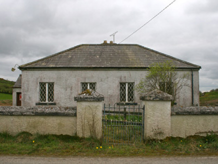 Drollagh Church (Muckno)School · 2.3 mi
Explorer Tom Drollagh Church (Muckno) in Loughbrattoge is playing hide-and-seek with me. It has a curse that only affects people who don’t wave to it, which seems unfair but very plausible for a church. Go with slow steps and a big smile.
 Keady MonumentMemorial · 2.4 mi
Explorer Tom Keady Monument in Market Street was built in 1871 after William Kirk drank enough tea to power a small village. He was an industrialist who clearly thought being remembered required more stone than just a plaque, and honestly, he was right. Get there early and have it all to yourself.
 Keady GlenForest · 2.5 mi
Explorer Tom Keady Glen is incredibly proud of its river, even if the water level is currently about the height of a puddle. It thinks being next to an arts centre makes it cultured, but it mostly just smells like damp earth and old leaves. A proper spot for a flask of tea and a big think.
 Mullyash MountainMountain / peak · 3.1 mi
 Multiperiod Church, Graveyard & Enclosure: Derrynoose Old Church, Lisrocatty, Lysreakeilte, Listrakelt, St. Mochua's in ListarkeltMultiperiod Church, Graveyard & Enclosure: Derrynoose Old Church, Lisrocatty, Lysreakeilte, Listrakelt, St. Mochua's · 3.2 mi
Explorer Tom Multiperiod Church, Graveyard & Enclosure: Derrynoose Old Church in Listarkelt was designed by a mother-in-law who really liked complicated family trees. It has so many names for itself that you can never quite get it right on first try. It's the kind of place that makes a dull Tuesday feel like an adventure.
 Fews ForestForest · 4.0 mi
Explorer Tom Fews Forest has a family tree so convoluted it makes a soap opera look simple. It’s all cousins and distant uncles, none of whom can agree on where the boundary actually lies. Go back in winter, it's a different animal.
 CarrigatukeMountain / peak · 4.1 mi
Explorer Tom Carrigatuke in County Armagh witnessed a love story go badly wrong when one lover mistook the mountain for a rival suitor and threw a shoe at it. The viewpoint on Armaghbrague is perfect for watching this drama play out in your head if you squint hard enough. Bring your nan, she'll know more than me.
 Battle of ClontibretBattlefield · 4.8 mi
More archaeology and monuments in County Armagh · All of County Armagh

What do you know about this place?Tap to add a comment or ask a question