What is recorded here
The site of the town defences in Bohercrow, Carrownreddy, Knockanrawley, Murgasty, Town Lot is in County Tipperary, Ireland. Murage grants issued in 1300 for ten years and in 1310 for three years support the existence of a defended medieval town. The probable town covered about 15 hectares in a roughly rectangular shape, with the church and graveyard in its north-west angle, the castle in its south-east angle and the River Ara forming the southern boundary. No enclosing wall, bank or ditch is visible at ground level.
In 1300 a murage grant was given for a period of 10 years and in 1310 a further grant was given for a period of 3 years (Thomas 1992, 194). Based on the probable survival of the medieval town pattern on the modern town, it is suggested that the town consisted of an area of c. 15 hectares, roughly rectangular in shape, incorporating the church (TS067-004003-) and graveyard (TS067-004008-) in its NW angle and the castle (TS067-004002-) in the SE angle, with the River Ara forming the southern boundary (Thomas 1992, 194-5). There is no visible trace of an enclosing wall, bank or fosse at ground level.
Compiled by: Jean Farrelly
Date of upload: 10 June 2014
This remains an important historical record, but the official description says the monument is no longer visible or has been destroyed. The monument record does not grant public access. Check the route and ask the landowner before entering private land.
- What survives
- No visible remains or recorded as destroyed
Places near here
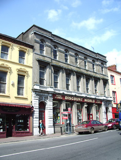 The Irish Houseschool · 38 yd
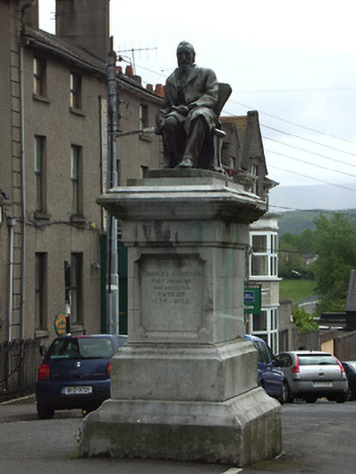 Kickham Monumentmonument · 45 yd
 It's a long way to TippereryHeritage attraction · 82 yd
 Site of AbbeyReligious house, Augustinian friars · 182 yd
 The Maid of ErinMemorial · 224 yd
 IndicatedHoly well · 439 yd
 Mutton Pie HillCastle, motte · 993 yd
 I.R.A. 3rd. Tipperary Brigade MemorialMemorial · 1266 yd
 MoatCastle, motte and bailey · 1295 yd
 The RockViewpoint · 2.5 mi
 European ashEuropean ash · 2.6 mi
 Christ the KingViewpoint · 3.0 mi