DDiscover AloneMapAbout

Tower in Town Parks

Town defences
Computer-made picture that does not show Tower in Town ParksNot a photo of this monument
Computer-made picture. It does not show this monument. · Report the wrong picture

The monument record does not grant public access. Check the route and ask the landowner before entering private land.

What do you know about this place?Tap to add a comment or ask a question

What you write will be public.

What is recorded here

The town defences of Kells enclosed an area of c. 20 ha (c. 52 acres) and had a circumference of 1.8 km. The date of construction is uncertain but the earliest murage grant was in 1326 (Simms and Simms 1990, 2). In 1462 Parliament agreed to continue an existing murage grant (Berry 1914, 25). The walls were maintained…

Read the whole record
The town defences of Kells enclosed an area of c. 20 ha (c. 52 acres) and had a circumference of 1.8 km. The date of construction is uncertain but the earliest murage grant was in 1326 (Simms and Simms 1990, 2). In 1462 Parliament agreed to continue an existing murage grant (Berry 1914, 25). The walls were maintained into the 17th century and were scaled by Catholic Confederate troops when they captured the town in 1647. The walls were described as ruined in the Civil Survey (1654-6) but the Down Survey (1656-8) noted that Kells had a stone wall with five gates: Canon Gate, Carrick Gate at the N end of the Fair Green, Maudlin Gate, Dublin Gate on Headford Place, and Trim Gate on Bective Street. Apart from one mural tower there are no upstanding remains of the medieval defences, although its line can be deduced from the Down Survey maps and a valuation of the town in 1663 (Simington 1960, 267-8). The line ran from the mural tower S of Canon Street westwards along the back of properties on the S side of that street to Canon Gate, but testing (01E0979) at this angle has failed to produce any evidence of it (Shanahan 2003). The wall turned N along the E side of the Fair Green to Carrick Gate. The wall is thought to have followed the back of properties on the N side of Carrick Street to Maudlin Gate on the eponymous street, but archaeological testing (01E1145) has so far failed to confirm this (Hayden 2006). It ran to the E of properties on the E side of Castle Street and continued to the Dublin Gate at the W end of Headfort Place. From here the wall followed a line at the back of properties on the S side of Kenlis Place and Farrell Street, crossed the N end of Bective Street at Trim Gate and ran by the back of properties on the W side of Suffolk Street to the mural tower, although testing on Bective St (06E0634) and the S side of Canon St (06E0634) has yet to confirm this (Roynane 2009). The land falls away steeply to the S of the surviving tower which is in a naturally defensive location. The tower is circular (ext. diam. 5.1m), and constructed of roughly coursed limestone. It has two floors and a basement. At the first storey are three large slits covering the town wall and the area to the S, and there is a garderobe chute. At the second storey there is machicolation on the W side and a large window on the S side. The parapet does not survive. (Bradley and King 1985, 74-76) The above description is derived from the published 'Archaeological Inventory of County Meath' (Dublin: Stationery Office, 1987).

From the National Monuments Service (Archaeological Survey of Ireland) record ME017-044004

Places near here

Photo credits
  • National Inventory of Architectural Heritage
  • James Allan, Geograph · CC BY-SA 2.0
  • Maker not stated on source page, www.theirishroadtrip.com
  • Maker not stated on source page, nigelborrington.com
  • Maker not stated on source page, www.gettyimages.com
The Medical HallHouse · 169 yd

Explorer Tom The Medical Hall hides a tall tale about a secret tunnel straight to the pub. Its Art Nouveau etched glass panels are…
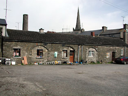
Kells Market YardMarket building · 174 yd

Explorer Tom Kells Market Yard thinks it’s in a reality show where everyone is arguing about prices. The arcade voussoirs are just…

CarrollHouse · 202 yd

Explorer Tom Carroll is built on a legend that a giant lived there and just got tired of decorating. The porcelain lettering is…

A. CrosbyHouse · 227 yd

Explorer Tom A. Crosby in Town Parks has a shopfront that looks like it’s waiting for a fox to take charge of the inventory. It…

hotel229 yd

Explorer Tom Hotel in Town Parks is throwing a bit of a fit against all those nineteen-century neighbors around it. It’s got this…

Kells Post OfficePost office · 254 yd

Explorer Tom Kells Post Office has a mosaic threshold that looks expensive for a place where the dog might actually be in charge. I…
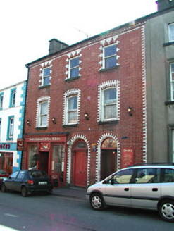
LisieuxHouse · 295 yd

Explorer Tom Town Parks has a house called Lisieux that’s got a red brick façade with yellow brick quoins, which is quite the…

Kells Presbyterian ChurchManse · 339 yd

Explorer Tom Kells Presbyterian Church is really just the manse for the church next door, but it’s dressed up with all these fancy…
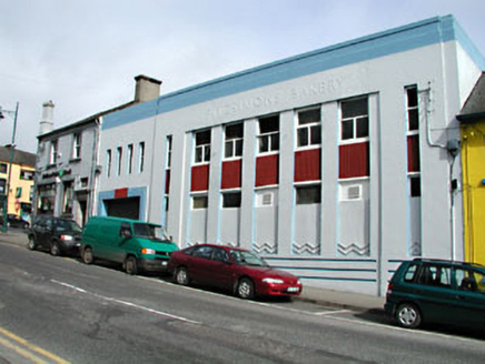
Fitzsimons BakeryBakery · 359 yd

Explorer Tom Fitzsimons Bakery in Town Parks was built by someone who really wanted to show off their Art Deco skills. It sticks out…

Fairy fort / earthen ringfort in Newrath Big (kells Upper By.)Fairy fort / earthen ringfort · 1535 yd

Explorer Tom Fairy fort / earthen ringfort in Newrath Big smells like wet earth, old secrets, and maybe a bit of damp wool if you…
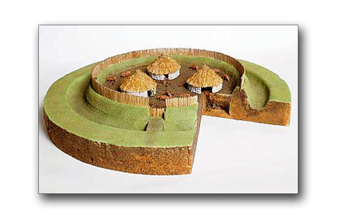
Fairy fort / earthen ringfort in Cakestown GlebeFairy fort / earthen ringfort · 1.0 mi

Explorer Tom This Fairy fort in Cakestown Glebe handles nosy neighbours by growing over their garden fences. It’s a small, overgrown…
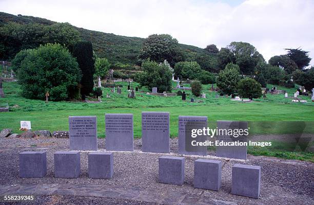
Famine GraveyardGraveyard · 1.1 mi

Explorer Tom Famine Graveyard is where the rabbits think it’s a giant playground with very soft ground for napping. They probably…

More archaeology and monuments in County Meath · All of County Meath

Add to this placeAdd a picture Add a detailed tip Add a story

Explore the map1,095,414 places to discover

Next place · or swipeThe Medical Hall